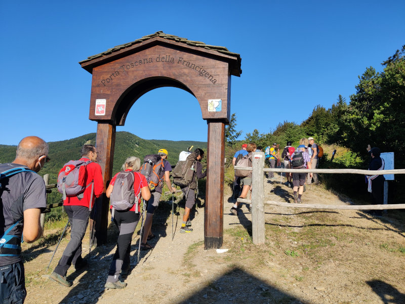
Sigeric’s ancient itinerary is revived today thanks to this important European route that crosses the Val di Magra to bring pilgrims to Rome
WHAT IS LUNIGIANA TRAIL?
The Lunigiana Trail is a “bikepacking” route in stages and suitable for MTBs, which runs in a circular (clockwise direction) throughout the Lunigiana area.
DEPARTURE / ARRIVAL
Aulla or Pontremoli, both of which can be reached by Train (Parma-La Spezia line) or by Highway (A15 Highway), however, since it is a circular route everyone can start wherever they prefer.
The ROUTE
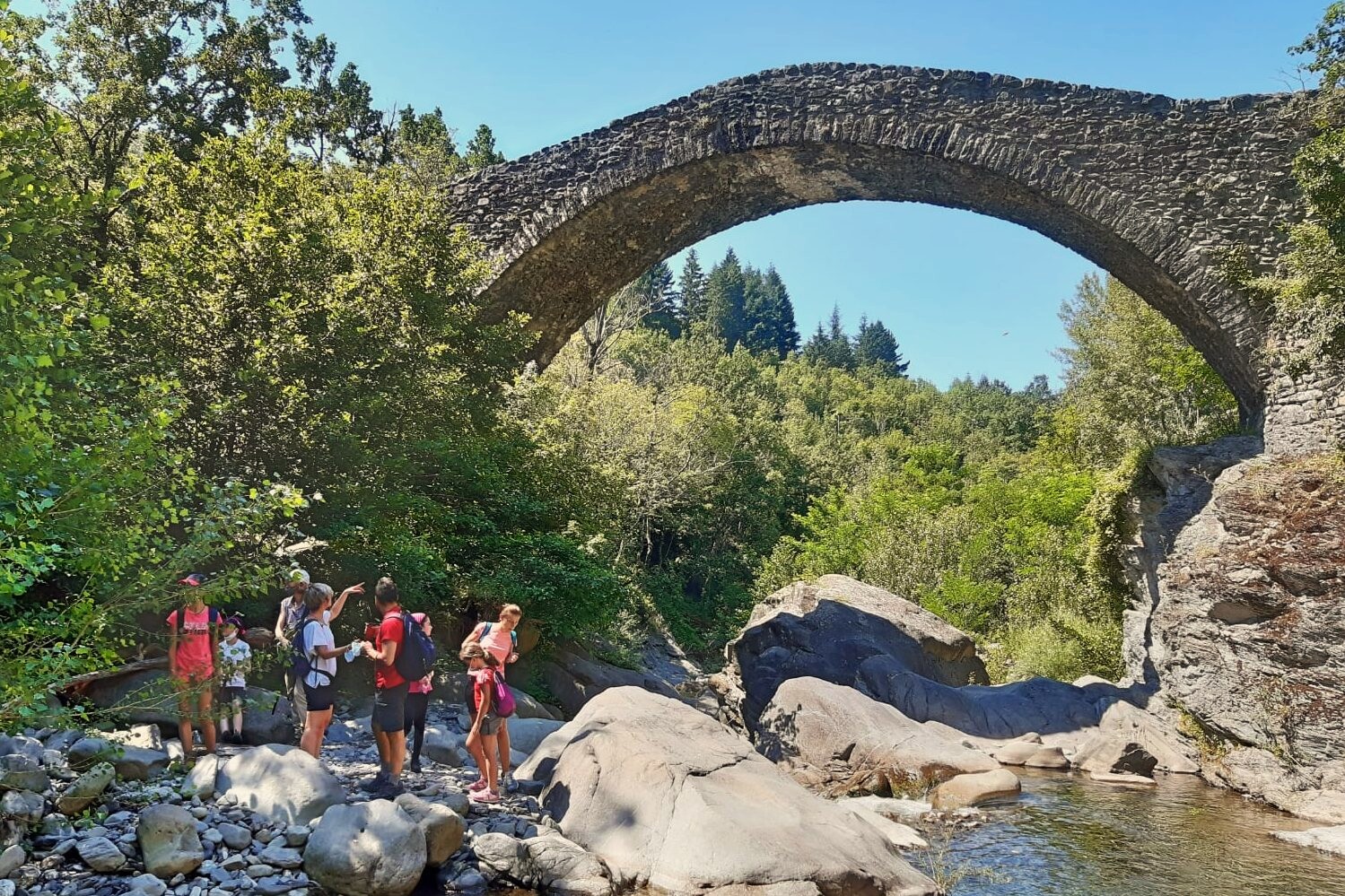
The L.T. keeps as much as possible at the highest altitudes of the territory where nature is still intact and rich in forests, ridges and high altitude pastures. In the northeastern part of the territory you will pedal flanking the Tuscan-Emilian Apennines that will make you toil not a little in a continuous crossing of valleys, streams and medieval villages; In the South will be the Apuan Alps to accompany you with the profile of its sharp peaks until you reach the Ligurian Apennines and its gentle ridge all pedalable that divides Tuscany from Liguria and from which we could admire airy views of the Tyrrhenian Sea and the Gulf of La Spezia, so this will be the scenario that we will meet, in an adventure 230 km long that will take us to discover this unexpected corner of Tuscany.
DIFFICULTY
the L.T. measures 230 km x 6700 disl+ and is mainly on dirt roads with a smooth surface, but there will be no lack of sections with rougher ground and trails with no particular technical difficulties. Where it was not possible to use dirt roads suitable for Trail, you will find asphalt with low vehicular traffic. There are no trail markers on the route, so it is necessary to download the GPX track.
TRAIN + BICYCLES
The F.S. Stations of Pontremoli, Aulla, Equi Terme and Monzone are daily connected by Regional Trains with bike transport service. Thanks to this service, you can interrupt the stages at your leisure and return by train to your starting point.
For info see: www.trenitalia.com
Where to eat and sleep
No structure for this trail


