From Reggio Emilia to Sarzana crossing the Apennines, a walk in Lunigiana retracing the ancient Este borders between the duchies of Emilia and Tuscany
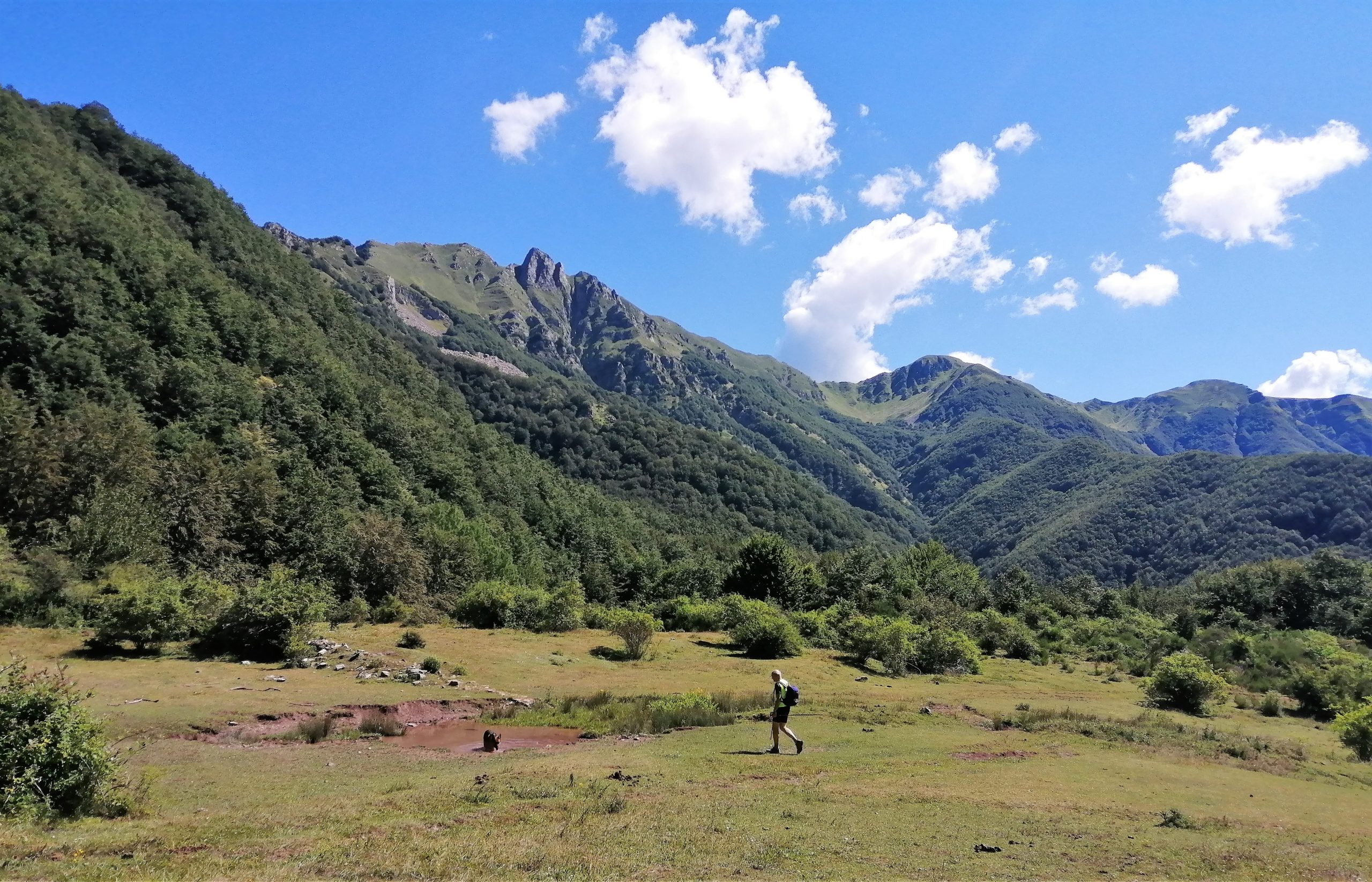
The ninth stage of the Sentiero dei Ducati, the second on Lunigiana land, runs at the foot of the Apennine ridge, pointing toward the Apuan Alps, which show off their main peaks in many sections of the route. From the village of Sassalbo we ascend to the SS 63 Cerreto road and, once we cross it, we walk toward the Giogo di Vendaso, retracing the route of the Lunigiana Trekking and the Apuan variant of the Sentiero Italia.
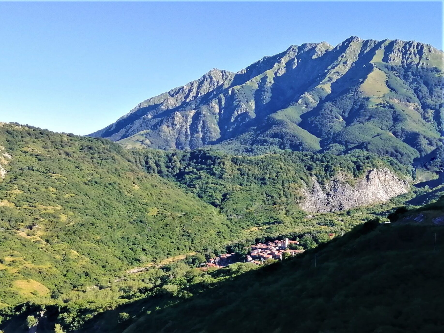
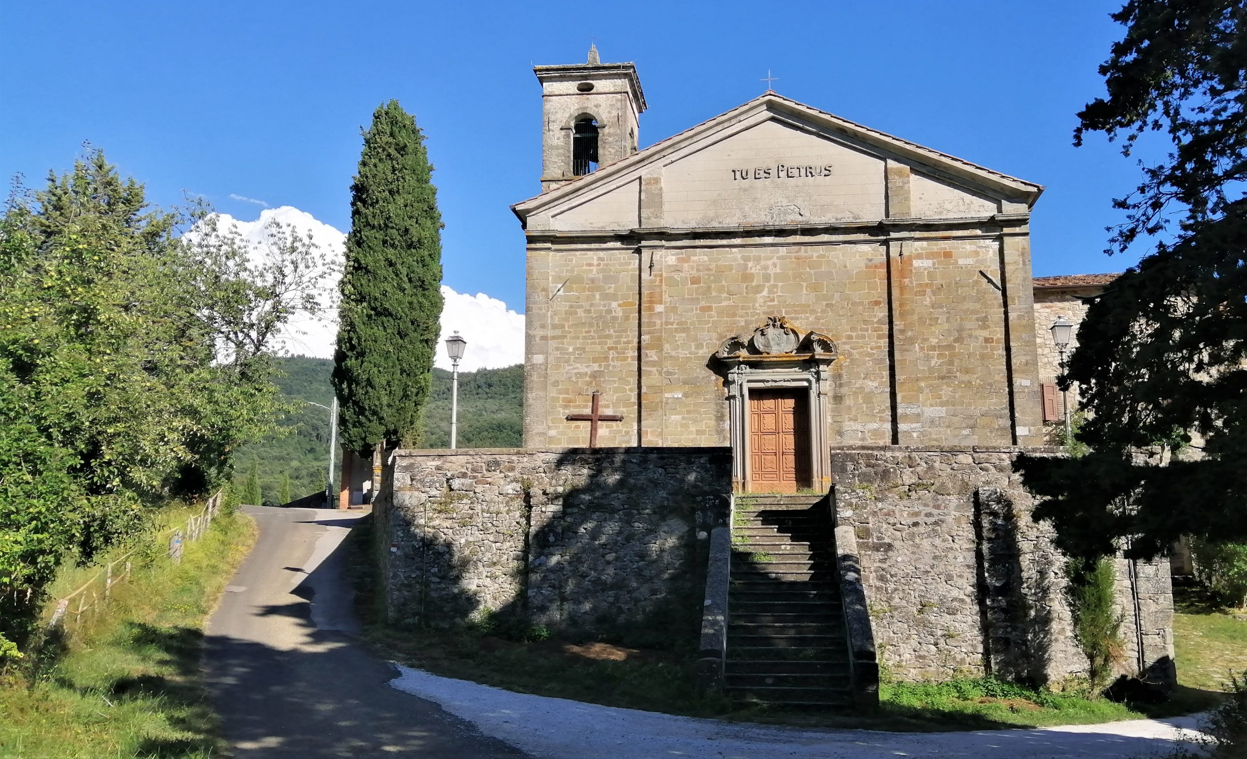
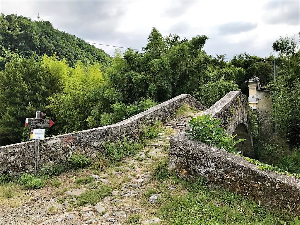
Once we reach Prati di Massicciano, a wide clearing with a splendid view of the Apuan Alps and the southern walls of the Tuscan-Emilian Apennines, we begin a long descent toward Restì locality and the village of Mommio, from where we then climb back up to Passo Cadin. From here we descend toward the village of Regnano and once we reach Regnano Villa, we cross the Via del Volto Santo, which we follow in the opposite direction until we reach Castiglioncello. From here we turn and still following Trekking Lunigiana, we arrive at the beautiful village of Casola.