

Ducati Trail
From Reggio Emilia to Sarzana crossing the Apennines, a walk in Lunigiana retracing the ancient Este borders between the duchies of Emilia and Tuscany
The Path of the Duchies is an itinerary between the Po Valley and the Ligurian Sea, designed to retrace the ancient routes that followed the Este borders between the 1500s and 1800s straddling Emilia and Tuscany. This route, about 160 km long, starts from Quattro Castella (Re) and reaches Sarzana (SP) in Liguria.
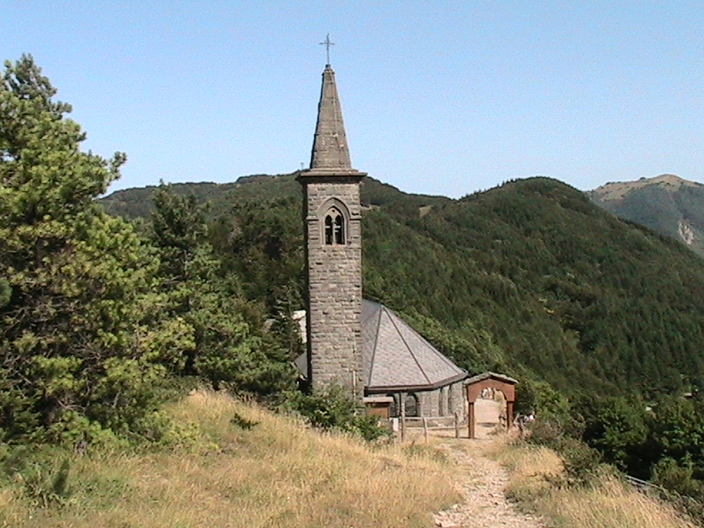
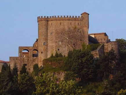
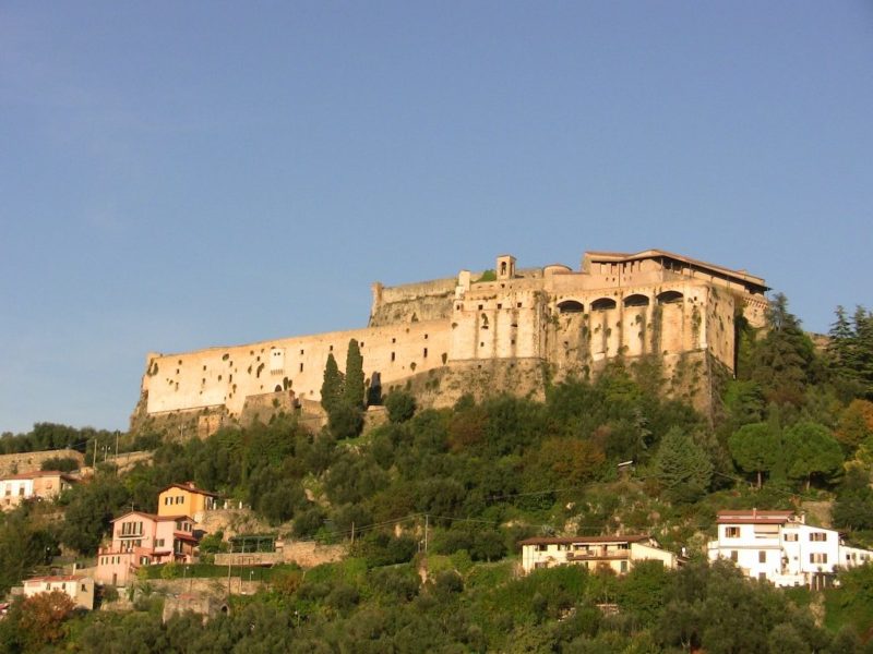
The route enters Lunigiana from the Lagastrello Pass encountering the villages of Torsana and Camporaghena in the heart of the National Park of the Tuscan-Emilian Apennines., and then reaches Sassalbo. It continues by retracing part of the itinerary of the Lunigiana Trekking and arriving in the Aulella Valley to the charming village of Casola; it then meets Ugliancaldo, with a breathtaking view of the Apuan peaks and Equi Terme with its karst caves in the heart of the Apuan Alps Regional Park. Past Monzone, it continues to the fortified village of Fosdinovo, a terrace overlooking the Magra River valley, the Ligurian Sea and the Gulf of Poets. Just beyond, the trail enters Liguria and reaches the fortified town of Sarzana. With a short variation it is possible to reach the excavations of ancient Luni.
The new hiking trail of the Ducati Trail, designed and coordinated by the Italian Alpine Club of Reggio Emilia in collaboration with the sections CAI of Fivizzano e Sarzana. It is marked by CAI volunteers who in many stretches have also provided appropriate symbology (turreted crown with initials “SD” or simple initials “SD”) in addition to the classic white and red trail markers. Since in Lunigiana the Ducati Trail largely follows the stages of the historic Lunigiana trekking you will also be able to find, for long stretches, the specific symbology of that trail(initials “TL”)