

Via del Volto santo

Da Pontremoli a Lucca, un cammino fra Lunigiana e Garfagnana fino al Duomo di San Martino per ammirare una statua che secondo le leggenda ha le vere sembianze di Cristo ed è stata protagonista di numerosi miracoli.

La Via del Volto Santo è un antico cammino religioso che collega Pontremoli alla città di Lucca, attraversando la Lunigiana, fra l’Appennino Tosco-Emiliano e la sponda sinistra del fiume Magra, giungendo a Fivizzano per poi svalicare all’antico passo di Tea, nei pressi dell’attuale Passo dei Carpinelli e proseguire in Garfagnana fino ad arrivare nella città toscana al Duomo di San Martino dove è custodita la scultura lignea dalla quale prende il nome l’itinerario.

Si tratta di una variante della Via Francigena, nata probabilmente per collegare alcuni territori longobardi in Toscana evitando la zona sotto il controllo dei Bizantini, misura 152 chilometri divisi in 7 tappe di cui le prime tre completamente in territorio lunigianese.

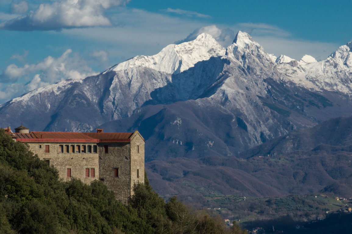
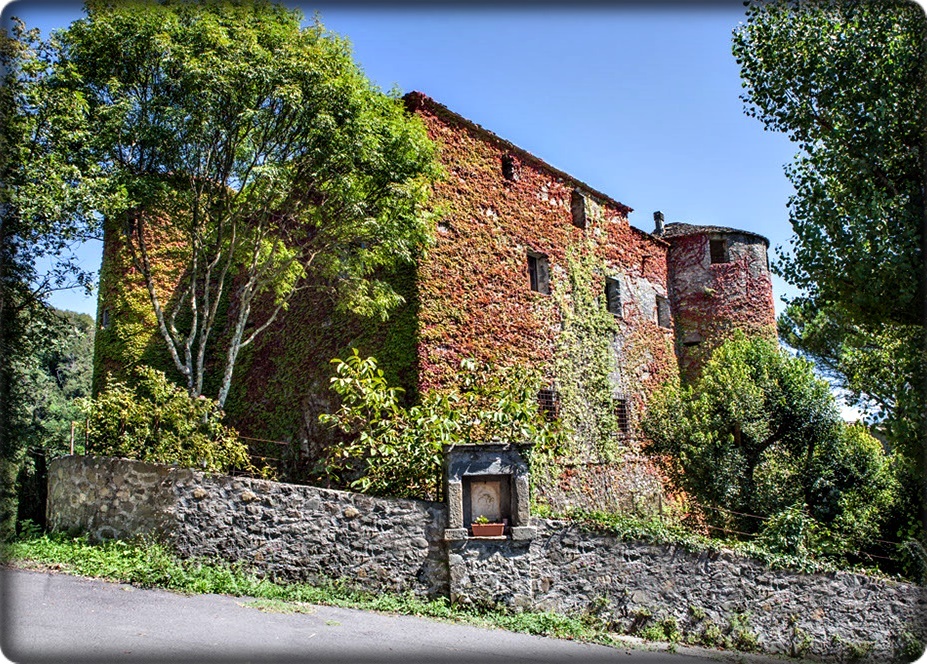
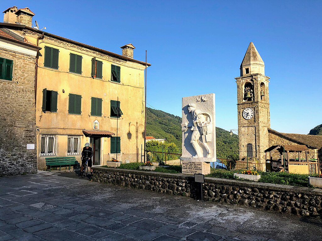
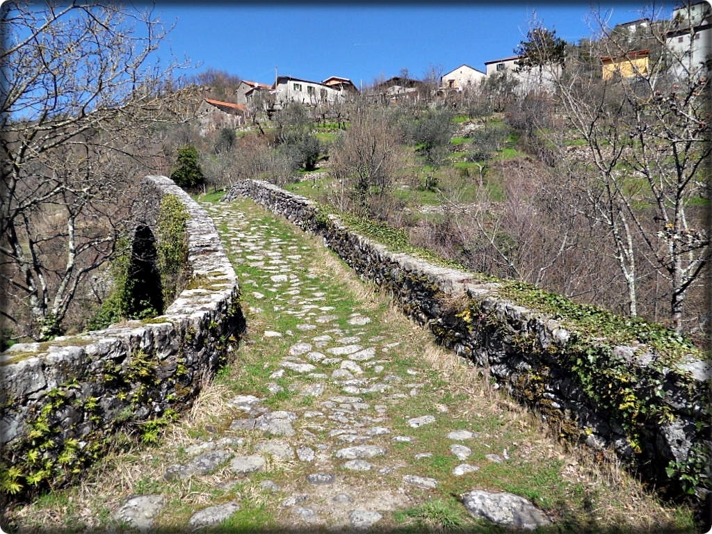
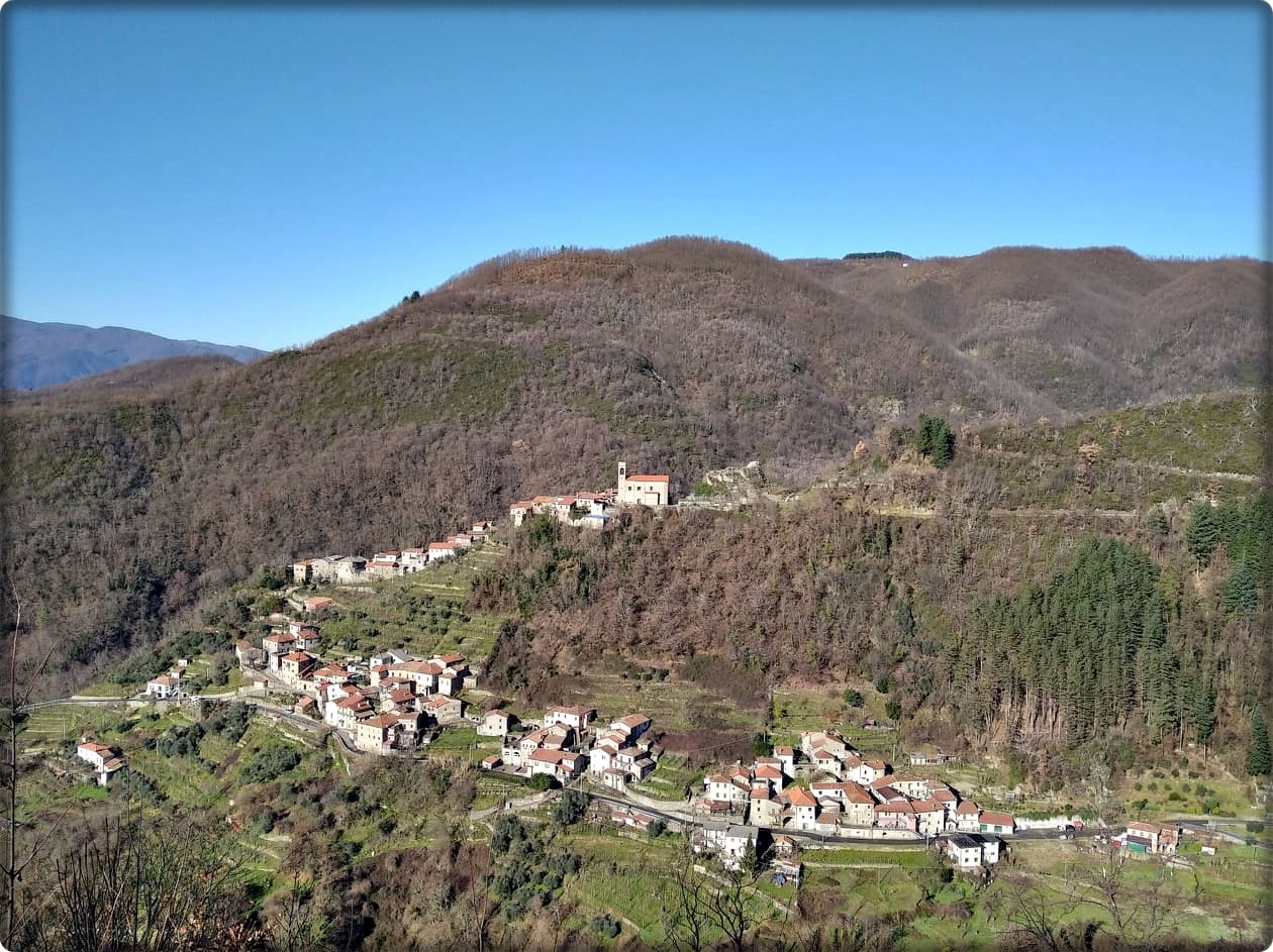
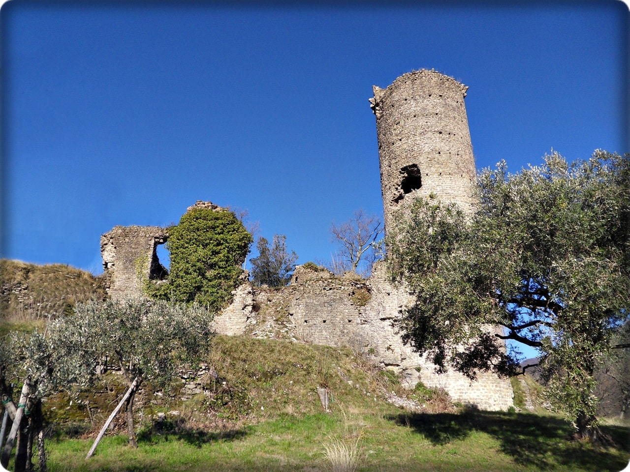
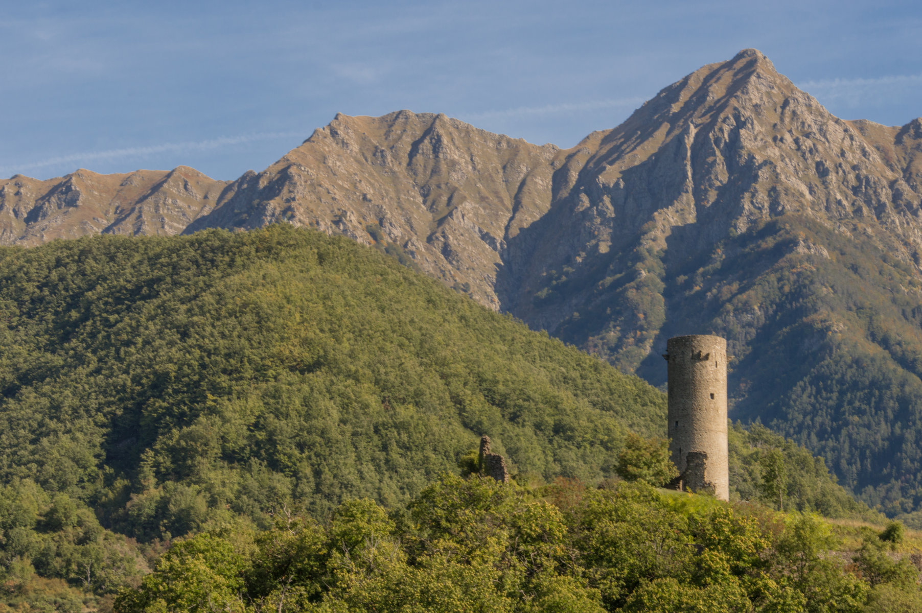
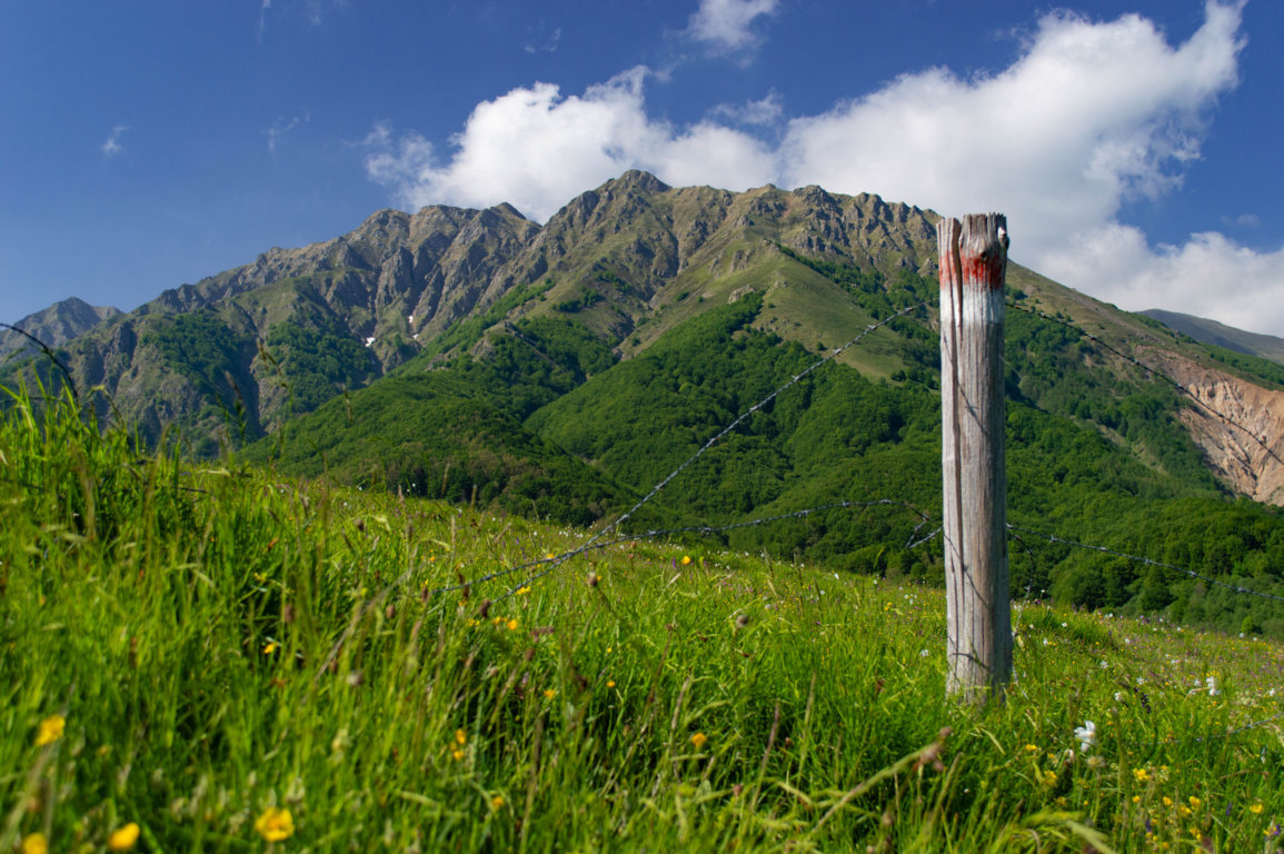
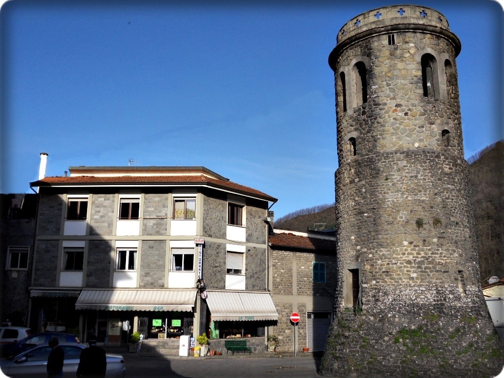
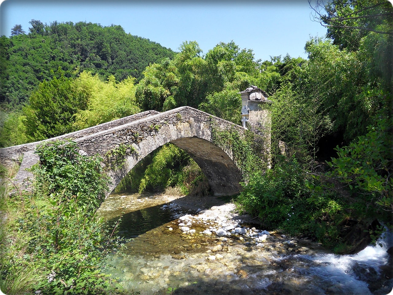
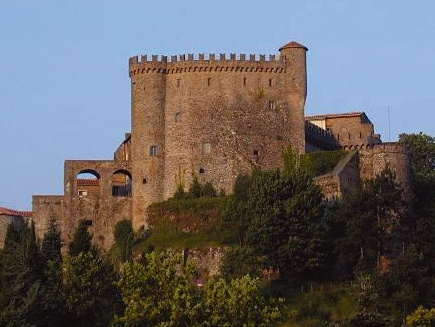
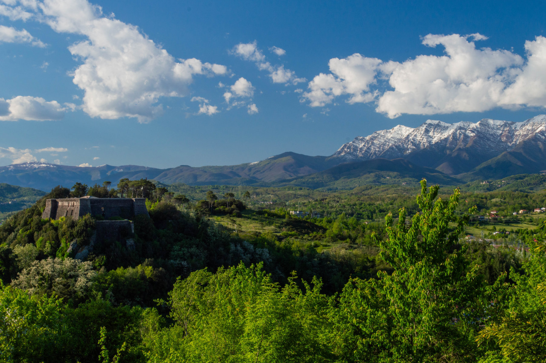
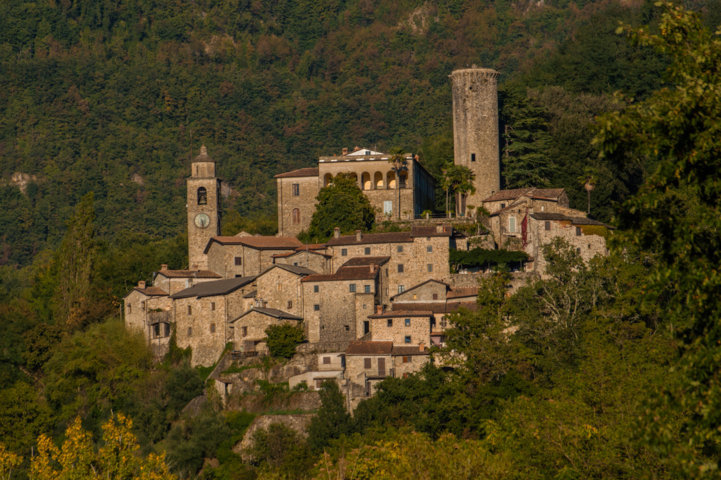
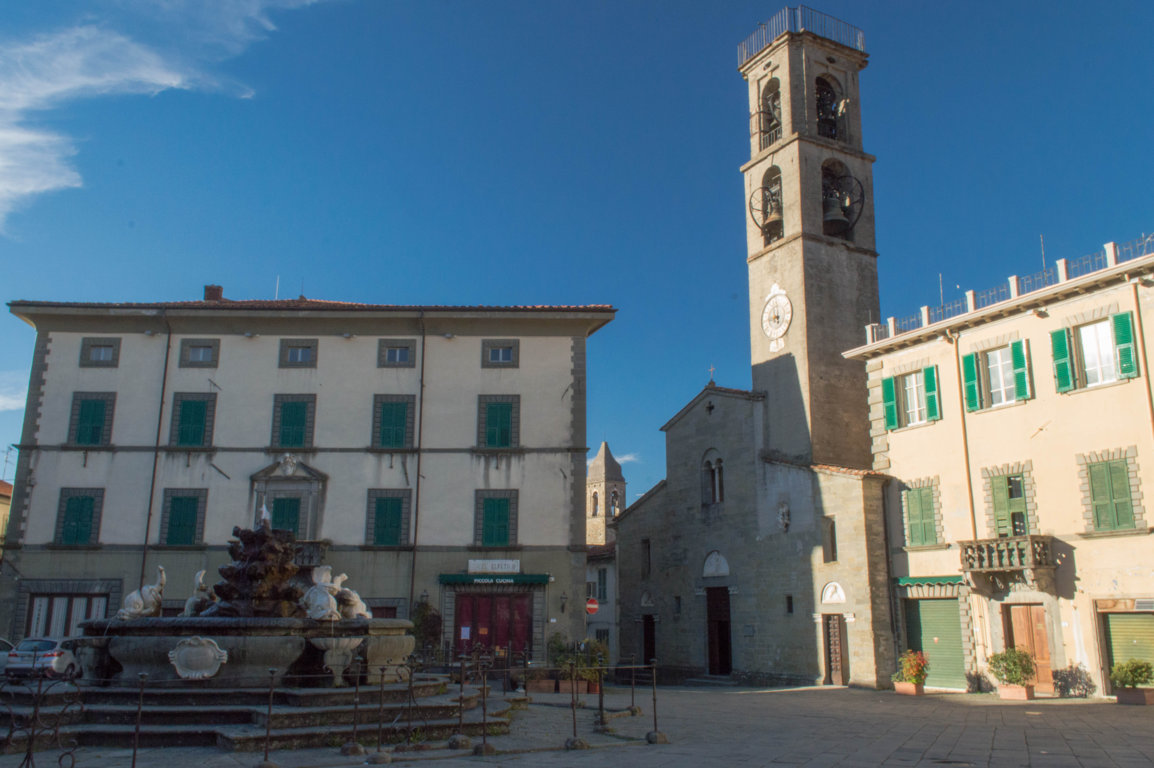
La varietà del paesaggio di questo itinerario è molto apprezzata dai camminatori: si parte dal borgo medievale di Pontremoli, precisamente dal simbolico labirinto presso la chiesa di San Pietro e si incontrano piccoli paesi montani, borghi dal nobile passato come Bagnone e Fivizzano con i suoi palazzi rinascimentali, i musei e l’elegante Piazza Medicea, antichi manieri come i Castelli Malaspina di Monti (Licciana Nardi) e il Castello di Pontebosio (Licciana Nardi), fino al valico appenninico di Tea con le rovine dell’antico hospitale, a testimonianza dell’importanza di questo luogo. Qui le cime dell’Appennino quasi si incontrano con le Alpi Apuane che sorvegliano i pellegrini per buona parte del percorso. L’itinerario prosegue poi in Garfagnana fino a Lucca dove all’esterno del Duomo ci attende un’altro simbolico labirinto.

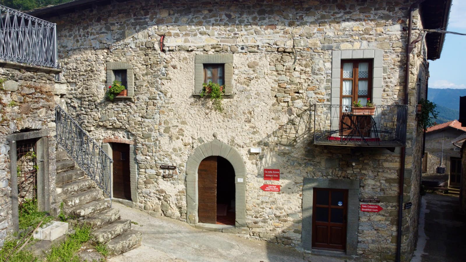
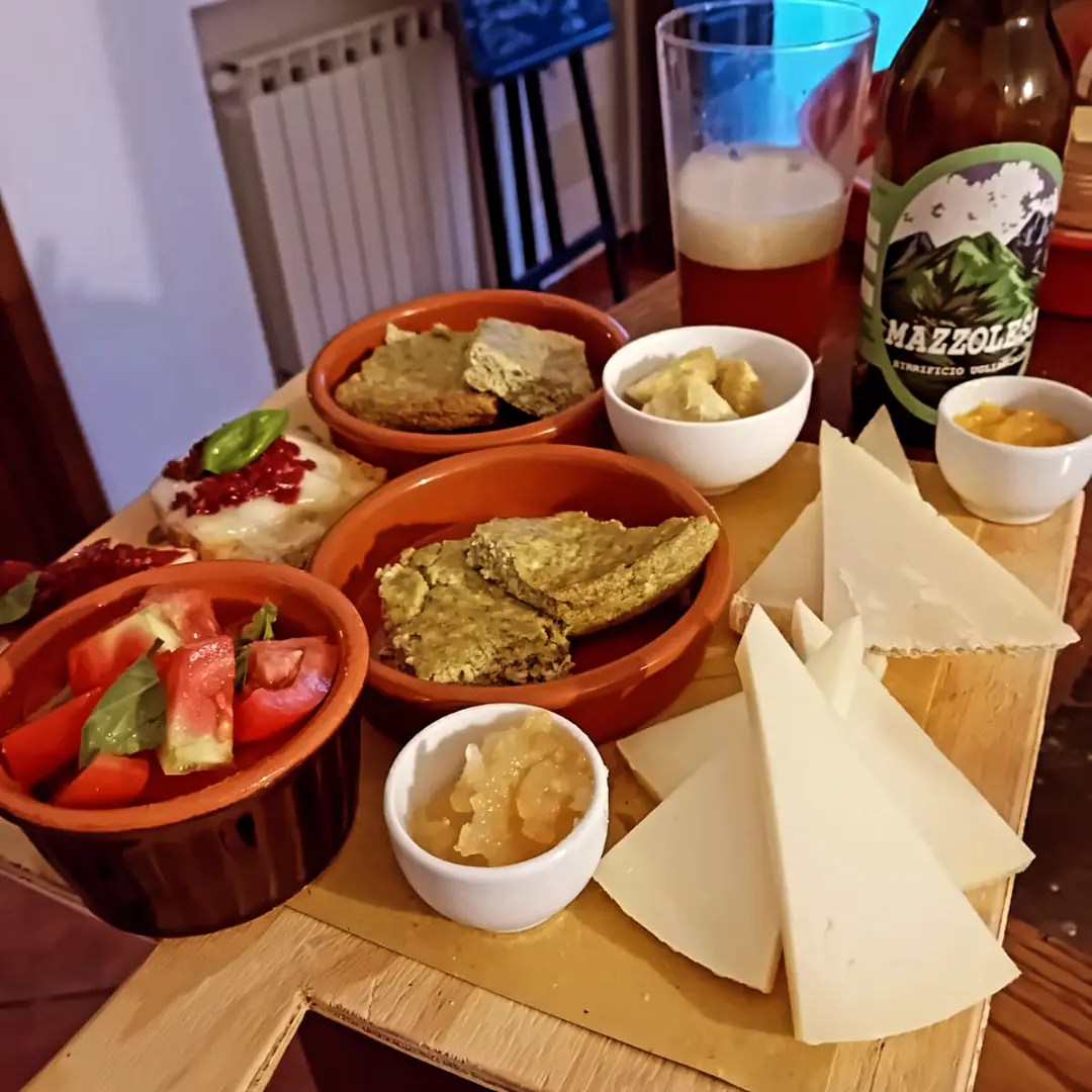
Lungo il cammino troverete alcune strutture ricettive disponibili ad ospitare a prezzi vantaggiosi i pellegrini che si fermano per una notte.

Si consiglia l’uso del GPS e prenotare in anticipo i pernottamenti
Le tappe in Lunigiana

  • TREKKING LUNIGIANA- Leg 06: Cervara to Montelungo.

    Length: 15.4 km
    Elevation gain: 849m D+ / 412m D-
    Time: 5h 30 min
  • TREKKING LUNIGIANA- stage 01: from Aulla to Novegigola

    Length: 10 km
    Height difference: 425m D+ / 61m D-
    Time: 3h 30 min
  • TREKKING LUNIGIANA- stage 02: from Novegigola to Villa di Tresana

    Length: 11.5 km
    Height difference: 495m D+ / 207m D-
    Time: 4h 00 min
  • TREKKING LUNIGIANA- stage 03: from Villa di Tresana to Montereggio

    Length: 9 km.
    Height difference: 697m D+ / 350m D-
    Time: 4h 00 min
  • TREKKING LUNIGIANA- stage 04: from Montereggio to Coloretta

    Length: 14 km
    Height difference: 933m D+ / 499m D-
    Time: 5h 30 min
  • TREKKING LUNIGIANA- stage 05: from Coloretta to Cervara

    Length: 17.6 km
    Height difference: 1310m D+ / 675m D-
    Time: 6h 00 min
  • TREKKING LUNIGIANA- stage 07: from Montelungo to Arzengio

    Length: 12.5 km
    Height difference: 831m D+ / 407m D-
    Time: 5h 30 min
  • TREKKING LUNIGIANA- stage 08: from Arzengio to Rocca Sigillina

    Length: 12.5 km
    Height difference: 831m D+ / 407m D-
    Time: 5h 30 min
  • TREKKING LUNIGIANA- stage 09: from Rocca Sigillina to Treschietto

    Length: 10.3 km
    Height difference: 825m D+ / 374m D-
    Time: 4h 45 min
  • TREKKING LUNIGIANA- stage 11: from Tavernelle to Comano Castello

    Length: 10.6 km
    Height difference: 864m D+ / 359m D-
    Time: 5h 15 min
  • TREKKING LUNIGIANA- stage 12: from Comano to Sassalbo

    Length: 12 km.
    Height difference: 1028m D+ / 581m D-
    Time: 6h 00 min
  • TREKKING LUNIGIANA- stage 13: from Sassalbo to Casola

    Length: 20.7 km
    Height difference: 1244m D+ / 370m D-
    Time: 7h 15 min
  • TREKKING LUNIGIANA-leg 10: from Treschietto to Tavernelle

    Length: 9.4 km
    Height difference: 871m D+ / 416m D-
    Time: 4h 00 min
  • TREKKING LUNIGIANA-leg 14: from Casola to Monzone

    Length: 13 km.
    Height difference: 740m D+ / 211m D-
    Time: 5h 00 min
  • TREKKING LUNIGIANA-leg 15: Monzone to Fosdinovo

    Length: 17.7 km
    Height difference: 578m D+ / 213m D-
    Time: 7h 30 min
  • TREKKING LUNIGIANA-leg 16: from Fosdinovo to Aulla

    Length: 15.2 km
    Height difference: 619m D+ / 61m D-
    Time: 6h 00 min
  • Ugliancaldo Brewery

    Ugliancaldo Street No. 8/A, Ugliancaldo

  • Vacation home Antiquae Lunae

    Via Cucco No. 1, Fosdinovo

  • Vacation home Argigliano Castello

    Loc Argigliano No. 85, Argigliano

  • Vacation home Villa Lanterna Bianca

    Via Nezzana No. 40, Bagnone

  • VIA DEL VOLTO SANTO- stage 01: from Pontremoli to Bagnone

    Length: 24.6 km
    Min/max elevation: 262 mslm / 711mslm
    Time: 7h 00 min
  • VIA DEL VOLTO SANTO- stage 02: from Bagnone to Fivizzano

    Length: 29.2 km
    Min/max altitude: 130 mslm / 550mslm
    Time: 8h 45 min
  • VIA DEL VOLTO SANTO- stage 03: from Fivizzano to Monte Argegna

    Length: 17.9 km
    Min/max elevation: 312 mslm / 971mslm
    Time: 5h 45 min
  • VIA FRANCIGENA- stage 22: from the Cisa Pass to Pontremoli

    Length: 19.2 km
    Min/max elevation: 244 mslm / 1120mslm
    Time: 6h 00 min

Le esperienze lungo il cammino

  • TREKKING LUNIGIANA- Leg 06: Cervara to Montelungo.

    Length: 15.4 km
    Elevation gain: 849m D+ / 412m D-
    Time: 5h 30 min
  • TREKKING LUNIGIANA- stage 01: from Aulla to Novegigola

    Length: 10 km
    Height difference: 425m D+ / 61m D-
    Time: 3h 30 min
  • TREKKING LUNIGIANA- stage 02: from Novegigola to Villa di Tresana

    Length: 11.5 km
    Height difference: 495m D+ / 207m D-
    Time: 4h 00 min
  • TREKKING LUNIGIANA- stage 03: from Villa di Tresana to Montereggio

    Length: 9 km.
    Height difference: 697m D+ / 350m D-
    Time: 4h 00 min
  • TREKKING LUNIGIANA- stage 04: from Montereggio to Coloretta

    Length: 14 km
    Height difference: 933m D+ / 499m D-
    Time: 5h 30 min
  • TREKKING LUNIGIANA- stage 05: from Coloretta to Cervara

    Length: 17.6 km
    Height difference: 1310m D+ / 675m D-
    Time: 6h 00 min
  • TREKKING LUNIGIANA- stage 07: from Montelungo to Arzengio

    Length: 12.5 km
    Height difference: 831m D+ / 407m D-
    Time: 5h 30 min
  • TREKKING LUNIGIANA- stage 08: from Arzengio to Rocca Sigillina

    Length: 12.5 km
    Height difference: 831m D+ / 407m D-
    Time: 5h 30 min
  • TREKKING LUNIGIANA- stage 09: from Rocca Sigillina to Treschietto

    Length: 10.3 km
    Height difference: 825m D+ / 374m D-
    Time: 4h 45 min
  • TREKKING LUNIGIANA- stage 11: from Tavernelle to Comano Castello

    Length: 10.6 km
    Height difference: 864m D+ / 359m D-
    Time: 5h 15 min
  • TREKKING LUNIGIANA- stage 12: from Comano to Sassalbo

    Length: 12 km.
    Height difference: 1028m D+ / 581m D-
    Time: 6h 00 min
  • TREKKING LUNIGIANA- stage 13: from Sassalbo to Casola

    Length: 20.7 km
    Height difference: 1244m D+ / 370m D-
    Time: 7h 15 min
  • TREKKING LUNIGIANA-leg 10: from Treschietto to Tavernelle

    Length: 9.4 km
    Height difference: 871m D+ / 416m D-
    Time: 4h 00 min
  • TREKKING LUNIGIANA-leg 14: from Casola to Monzone

    Length: 13 km.
    Height difference: 740m D+ / 211m D-
    Time: 5h 00 min
  • TREKKING LUNIGIANA-leg 15: Monzone to Fosdinovo

    Length: 17.7 km
    Height difference: 578m D+ / 213m D-
    Time: 7h 30 min
  • TREKKING LUNIGIANA-leg 16: from Fosdinovo to Aulla

    Length: 15.2 km
    Height difference: 619m D+ / 61m D-
    Time: 6h 00 min
  • Ugliancaldo Brewery

    Ugliancaldo Street No. 8/A, Ugliancaldo

  • Vacation home Antiquae Lunae

    Via Cucco No. 1, Fosdinovo

  • Vacation home Argigliano Castello

    Loc Argigliano No. 85, Argigliano

  • Vacation home Villa Lanterna Bianca

    Via Nezzana No. 40, Bagnone

  • VIA DEL VOLTO SANTO- stage 01: from Pontremoli to Bagnone

    Length: 24.6 km
    Min/max elevation: 262 mslm / 711mslm
    Time: 7h 00 min
  • VIA DEL VOLTO SANTO- stage 02: from Bagnone to Fivizzano

    Length: 29.2 km
    Min/max altitude: 130 mslm / 550mslm
    Time: 8h 45 min
  • VIA DEL VOLTO SANTO- stage 03: from Fivizzano to Monte Argegna

    Length: 17.9 km
    Min/max elevation: 312 mslm / 971mslm
    Time: 5h 45 min
  • VIA FRANCIGENA- stage 22: from the Cisa Pass to Pontremoli

    Length: 19.2 km
    Min/max elevation: 244 mslm / 1120mslm
    Time: 6h 00 min