
Italy Trail

Over 7,000 kilometers of great beauty, a national route that also links the Lunigiana Apennines and the Apuan Alps

The Italy Trail, an ambitious hiking project of the Italian Alpine Club, is a route that crosses the entire Peninsula, embracing mountains and valleys, coasts and plains, cities of art and small villages. It is not only a physical route, but also and above all an emotional, cultural and historical journey that winds through 20 regions, 16 UNESCO sites and numerous national and regional parks.

In Lunigiana, the main route follows the ridge of theTuscan-Emilian Apennines from the Passo dei Due Santi near Zeri to the Passo dei Cerreto, but no less lacking in charm is the Apuan variant an alternative route that crosses this extraordinary mountain range and enters Lunigiana from the Foce di Giovo and rejoins the main route by following back the Lunigiana trek all the way to Sassalbo.

On site dedicated to the walk you will find important information such as stage locations and updates on the status of the route.
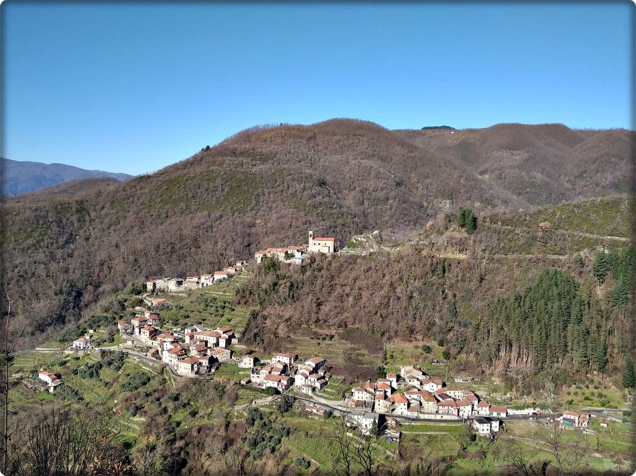
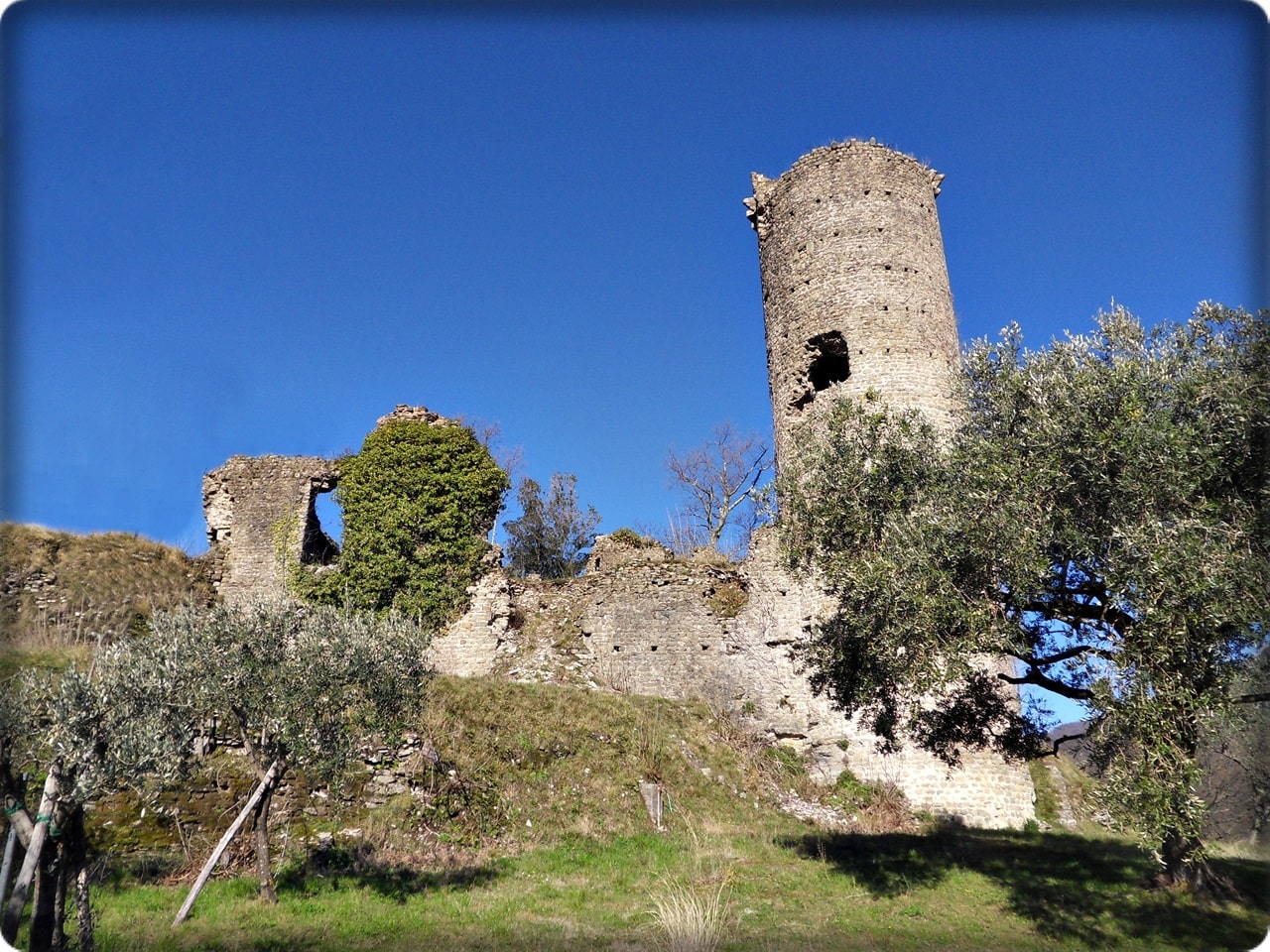
The stages in Lunigiana

  • TREKKING LUNIGIANA- stage 08: from Arzengio to Rocca Sigillina

     Length: 12.5 km
     Height difference: 831m D+ / 407m D-
     Time: 5h 30 min
  • TREKKING LUNIGIANA- stage 09: from Rocca Sigillina to Treschietto

     Length: 10.3 km
     Height difference: 825m D+ / 374m D-
     Time: 4h 45 min
  • TREKKING LUNIGIANA-leg 10: from Treschietto to Tavernelle

     Length: 9.4 km
     Height difference: 871m D+ / 416m D-
     Time: 4h 00 min
  • TREKKING LUNIGIANA- stage 11: from Tavernelle to Comano Castello

     Length: 10.6 km
     Height difference: 864m D+ / 359m D-
     Time: 5h 15 min
  • TREKKING LUNIGIANA- stage 12: from Comano to Sassalbo

     Length: 12 km.
     Height difference: 1028m D+ / 581m D-
     Time: 6h 00 min
  • TREKKING LUNIGIANA- stage 13: from Sassalbo to Casola

     Length: 20.7 km
     Height difference: 1244m D+ / 370m D-
     Time: 7h 15 min
  • TREKKING LUNIGIANA-leg 14: from Casola to Monzone

     Length: 13 km.
     Height difference: 740m D+ / 211m D-
     Time: 5h 00 min
  • TREKKING LUNIGIANA-leg 15: Monzone to Fosdinovo

     Length: 17.7 km
     Height difference: 578m D+ / 213m D-
     Time: 7h 30 min
  • TREKKING LUNIGIANA-leg 16: from Fosdinovo to Aulla

     Length: 15.2 km
     Height difference: 619m D+ / 61m D-
     Time: 6h 00 min
  • VIA DEL VOLTO SANTO- stage 01: from Pontremoli to Bagnone

     Length: 24.6 km
     Min/max elevation: 262 mslm / 711mslm
     Time: 7h 00 min
  • VIA DEL VOLTO SANTO- stage 02: from Bagnone to Fivizzano

     Length: 29.2 km
     Min/max altitude: 130 mslm / 550mslm
     Time: 8h 45 min
  • VIA DEL VOLTO SANTO- stage 03: from Fivizzano to Monte Argegna

     Length: 17.9 km
     Min/max elevation: 312 mslm / 971mslm
     Time: 5h 45 min
  • VIA FRANCIGENA- stage 22: from the Cisa Pass to Pontremoli

     Length: 19.2 km
     Min/max elevation: 244 mslm / 1120mslm
     Time: 6h 00 min
  • VIA FRANCIGENA- stage 23: from Pontremoli to Aulla

     Length: 32.2 km
     Min/max elevation: 32 mslm / 262mslm
     Time: 7h 00 min
  • VIA FRANCIGENA- stage 24: from Aulla to Sarzana

     Length: 17.4 km
     Min/max altitude: 25 mslm / 545mslm
     Time: 6h 30 min
  • Museum of Emigration – Lusuolo Castle

  • Equi Caves and Geo-Archeo-Adventure Park

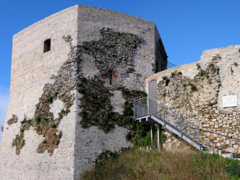
  • Aghinolfi Castle

  • The Piagnaro Castle of Pontremoli

  • Malaspina Castle of Fosdinovo

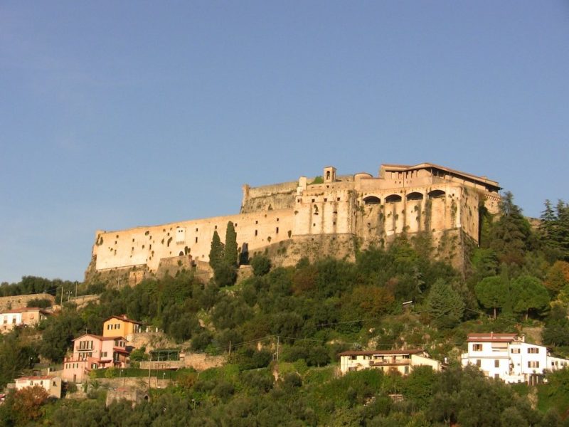
  • Malaspina Castle of Massa

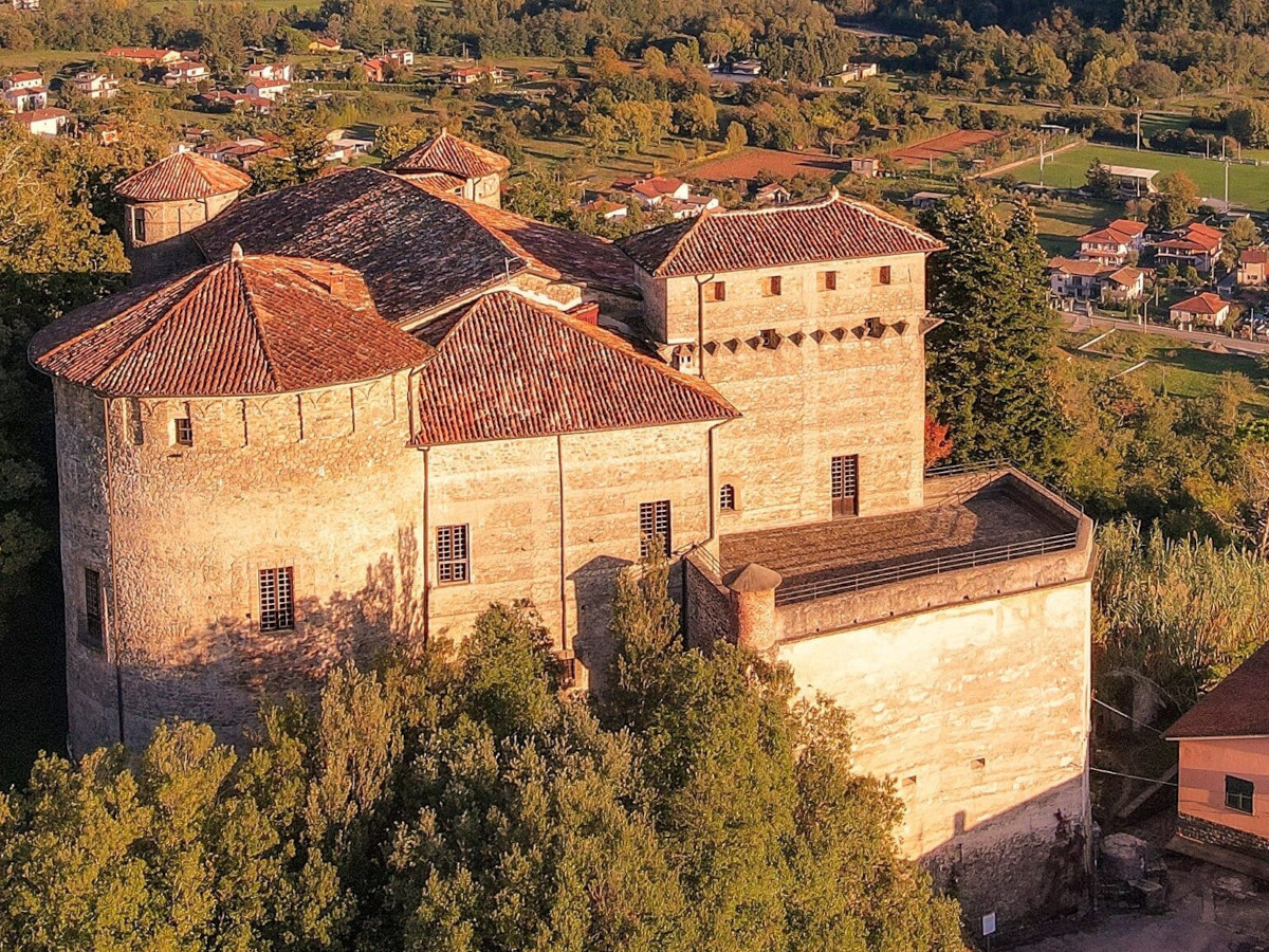
  • Malaspina Castle of Monti

  • Castiglione del Terziere- Bagnone

  • Museum of Emigration – Lusuolo Castle