
Ascent of Pizzo d’Uccello by the normal route

Ascent of Pizzo d’Uccello by the normal route

With Apuaneguide and the help of a mountain guide an exciting ascent to the most striking peak in the northern Apuan Alps

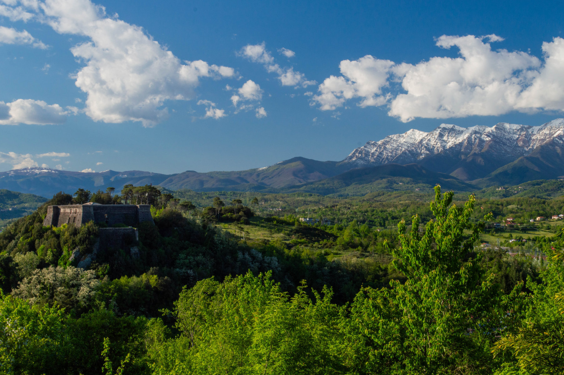
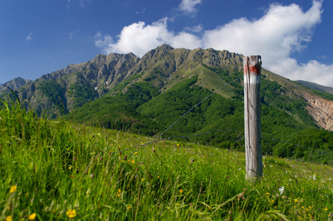
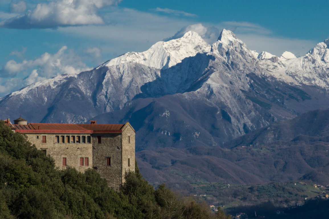
The ascent to Pizzo d'Uccello the "Matterhorn" of the Apuan Alps, a mountain symbolic of this chain, is one of the most rewarding because it offers the hiker the chance to try his hand at a mid-mountain route, with technical passages, in a superb, impervious, typically "Apuan" environment.

Qhe following is the description of the climb that General E. De Vecchi and Avv. A.Pozzolini, "vintage" mountaineers, wrote in La Nazione in 1873: "For consummate mountaineers a joke; for amateurs difficult; for people little made for the mountains, dangerous; for those who suffer from vertigo, impossible."

The progression through the hiking route is challenging, due to elevation gain, the "severity" of the 'environment and the obligatory technical steps, it is reserved only for trained hikers with experience and excellent handling skills on mountain terrain. Apuaneguide together with a mountain guide will lead you in this fantastic experience on the most striking peak of the Apuan Alps where you will enjoy an incredible panorama over the whole Lungiana and a breathtaking view of the mythical north face of Pizzo.

  • Difficulty: EE (CAI scale)
  • Height difference: 700 meters
Information

Apuaneguide

Address: c/o FraAndrea Mountain and Climbing
Piazza Vittorio Emanuele II, 15
Fivizzano (MS)

Email: info@apuaneguide.it
Tel: Andrea +39 333 537 1868

  • Participation: can be activated by reservation

  • Price: guide service € 50 per person

  • Participants: minimum 5, maximum 10

Other experiences

  • VIA FRANCIGENA- stage 24: from Aulla to Sarzana

    Length: 17.4 km
    Min/max altitude: 25 mslm / 545mslm
    Time: 6h 30 min
  • VIA FRANCIGENA- stage 23: from Pontremoli to Aulla

    Length: 32.2 km
    Min/max elevation: 32 mslm / 262mslm
    Time: 7h 00 min
  • VIA FRANCIGENA- stage 22: from the Cisa Pass to Pontremoli

    Length: 19.2 km
    Min/max elevation: 244 mslm / 1120mslm
    Time: 6h 00 min
  • VIA DEL VOLTO SANTO- stage 03: from Fivizzano to Monte Argegna

    Length: 17.9 km
    Min/max elevation: 312 mslm / 971mslm
    Time: 5h 45 min
  • VIA DEL VOLTO SANTO- stage 02: from Bagnone to Fivizzano

    Length: 29.2 km
    Min/max altitude: 130 mslm / 550mslm
    Time: 8h 45 min
  • VIA DEL VOLTO SANTO- stage 01: from Pontremoli to Bagnone

    Length: 24.6 km
    Min/max elevation: 262 mslm / 711mslm
    Time: 7h 00 min
  • TREKKING LUNIGIANA-leg 16: from Fosdinovo to Aulla

    Length: 15.2 km
    Height difference: 619m D+ / 61m D-
    Time: 6h 00 min
  • TREKKING LUNIGIANA-leg 15: Monzone to Fosdinovo

    Length: 17.7 km
    Height difference: 578m D+ / 213m D-
    Time: 7h 30 min
  • TREKKING LUNIGIANA-leg 14: from Casola to Monzone

    Length: 13 km.
    Height difference: 740m D+ / 211m D-
    Time: 5h 00 min
  • TREKKING LUNIGIANA- stage 13: from Sassalbo to Casola

    Length: 20.7 km
    Height difference: 1244m D+ / 370m D-
    Time: 7h 15 min
  • TREKKING LUNIGIANA- stage 12: from Comano to Sassalbo

    Length: 12 km.
    Height difference: 1028m D+ / 581m D-
    Time: 6h 00 min
  • TREKKING LUNIGIANA- stage 11: from Tavernelle to Comano Castello

    Length: 10.6 km
    Height difference: 864m D+ / 359m D-
    Time: 5h 15 min
  • TREKKING LUNIGIANA-leg 10: from Treschietto to Tavernelle

    Length: 9.4 km
    Height difference: 871m D+ / 416m D-
    Time: 4h 00 min
  • TREKKING LUNIGIANA- stage 09: from Rocca Sigillina to Treschietto

    Length: 10.3 km
    Height difference: 825m D+ / 374m D-
    Time: 4h 45 min
  • TREKKING LUNIGIANA- stage 08: from Arzengio to Rocca Sigillina

    Length: 12.5 km
    Height difference: 831m D+ / 407m D-
    Time: 5h 30 min
  • TREKKING LUNIGIANA- stage 07: from Montelungo to Arzengio

    Length: 12.5 km
    Height difference: 831m D+ / 407m D-
    Time: 5h 30 min
  • TREKKING LUNIGIANA- Leg 06: Cervara to Montelungo.

    Length: 15.4 km
    Elevation gain: 849m D+ / 412m D-
    Time: 5h 30 min
  • TREKKING LUNIGIANA- stage 05: from Coloretta to Cervara

    Length: 17.6 km
    Height difference: 1310m D+ / 675m D-
    Time: 6h 00 min
  • TREKKING LUNIGIANA- stage 04: from Montereggio to Coloretta

    Length: 14 km
    Height difference: 933m D+ / 499m D-
    Time: 5h 30 min
  • TREKKING LUNIGIANA- stage 03: from Villa di Tresana to Montereggio

    Length: 9 km.
    Height difference: 697m D+ / 350m D-
    Time: 4h 00 min
  • TREKKING LUNIGIANA- stage 02: from Novegigola to Villa di Tresana

    Length: 11.5 km
    Height difference: 495m D+ / 207m D-
    Time: 4h 00 min
  • TREKKING LUNIGIANA- stage 01: from Aulla to Novegigola

    Length: 10 km
    Height difference: 425m D+ / 61m D-
    Time: 3h 30 min
  • DUCATI PATH-leg 11: Monzone to Fosdinovo

    Length: 20.3 km
    Height difference: 1184m D+ / 907m D-
    Time: 6h 30min
  • DUCATI PATH- stage 10: from Casola to Monzone

    Length: 19 km.
    Height difference: 550m D+ / 1100m D-
    Time: 7h 30min