
Ascent of Pizzo d’Uccello by the normal route

Ascent of Pizzo d’Uccello by the normal route

With Apuaneguide and the help of a mountain guide an exciting ascent to the most striking peak in the northern Apuan Alps

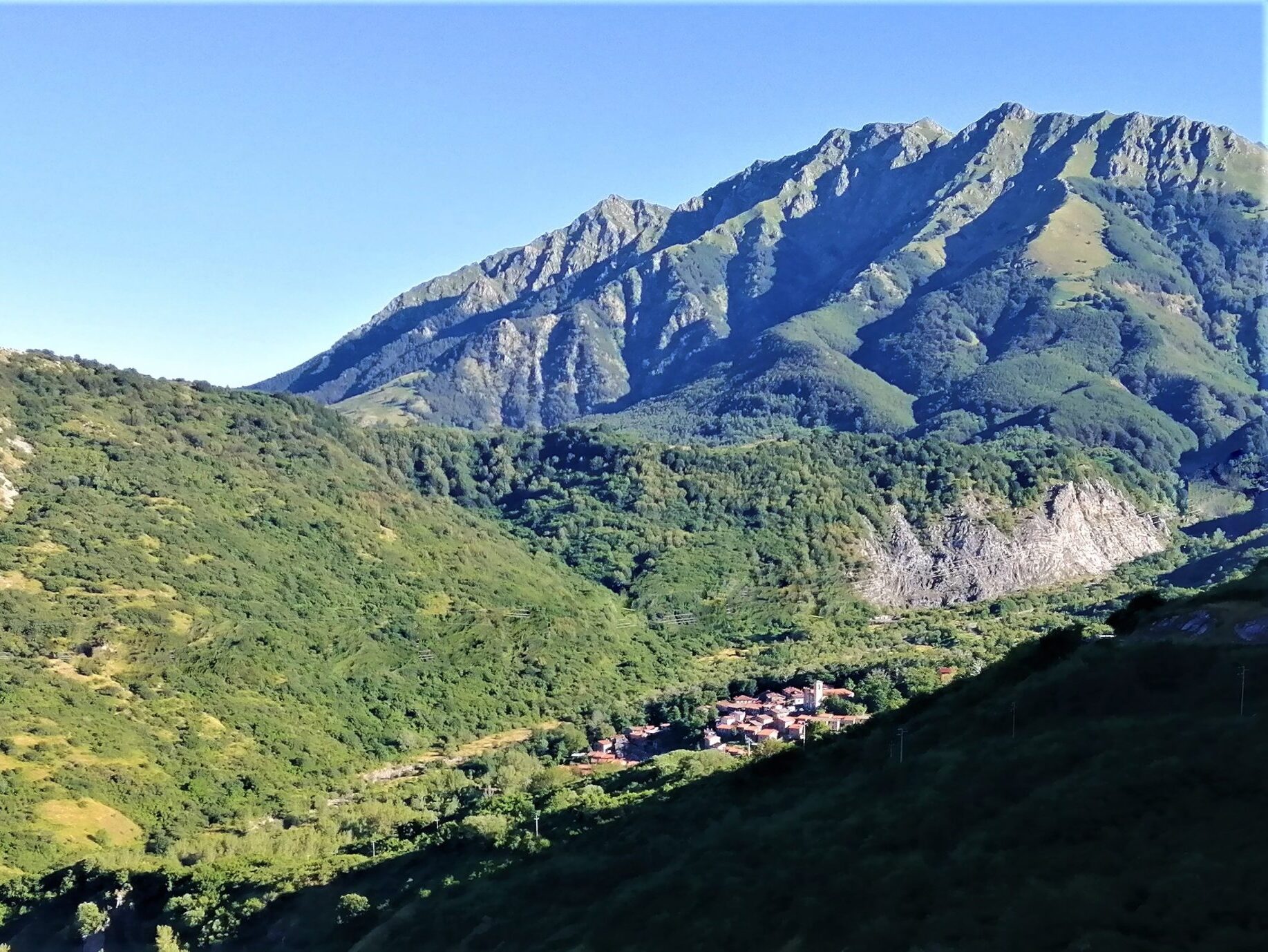
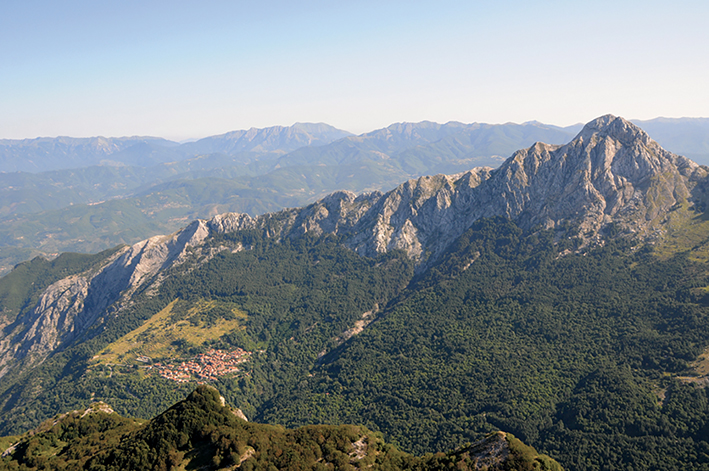
The ascent to Pizzo d'Uccello the "Matterhorn" of the Apuan Alps, a mountain symbolic of this chain, is one of the most rewarding because it offers the hiker the chance to try his hand at a mid-mountain route, with technical passages, in a superb, impervious, typically "Apuan" environment.

Qhe following is the description of the climb that General E. De Vecchi and Avv. A.Pozzolini, "vintage" mountaineers, wrote in La Nazione in 1873: "For consummate mountaineers a joke; for amateurs difficult; for people little made for the mountains, dangerous; for those who suffer from vertigo, impossible."

The progression through the hiking route is challenging, due to elevation gain, the "severity" of the 'environment and the obligatory technical steps, it is reserved only for trained hikers with experience and excellent handling skills on mountain terrain. Apuaneguide together with a mountain guide will lead you in this fantastic experience on the most striking peak of the Apuan Alps where you will enjoy an incredible panorama over the whole Lungiana and a breathtaking view of the mythical north face of Pizzo.

  • Difficulty: EE (CAI scale)
  • Height difference: 700 meters

Information

Apuaneguide

Address: c/o FraAndrea Mountain and Climbing
Piazza Vittorio Emanuele II, 15
Fivizzano (MS)

Email: info@apuaneguide.it
Tel: Andrea +39 333 537 1868

  • Participation: can be activated by reservation

  • Price: guide service € 50 per person

  • Participants: minimum 5, maximum 10

Other experiences

  • FraAndrea Mountain and Climbing

  • New site for Visitlunigiana.it

    All the new features of the new site, a real reference point for those wishing to discover Lunigiana

  • The decalogue of the herbi pie in Lunigiana

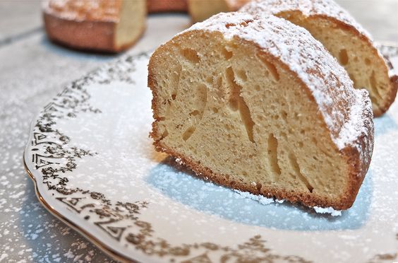
  • Buccellato, the dessert of the Lunigiana grandmothers…

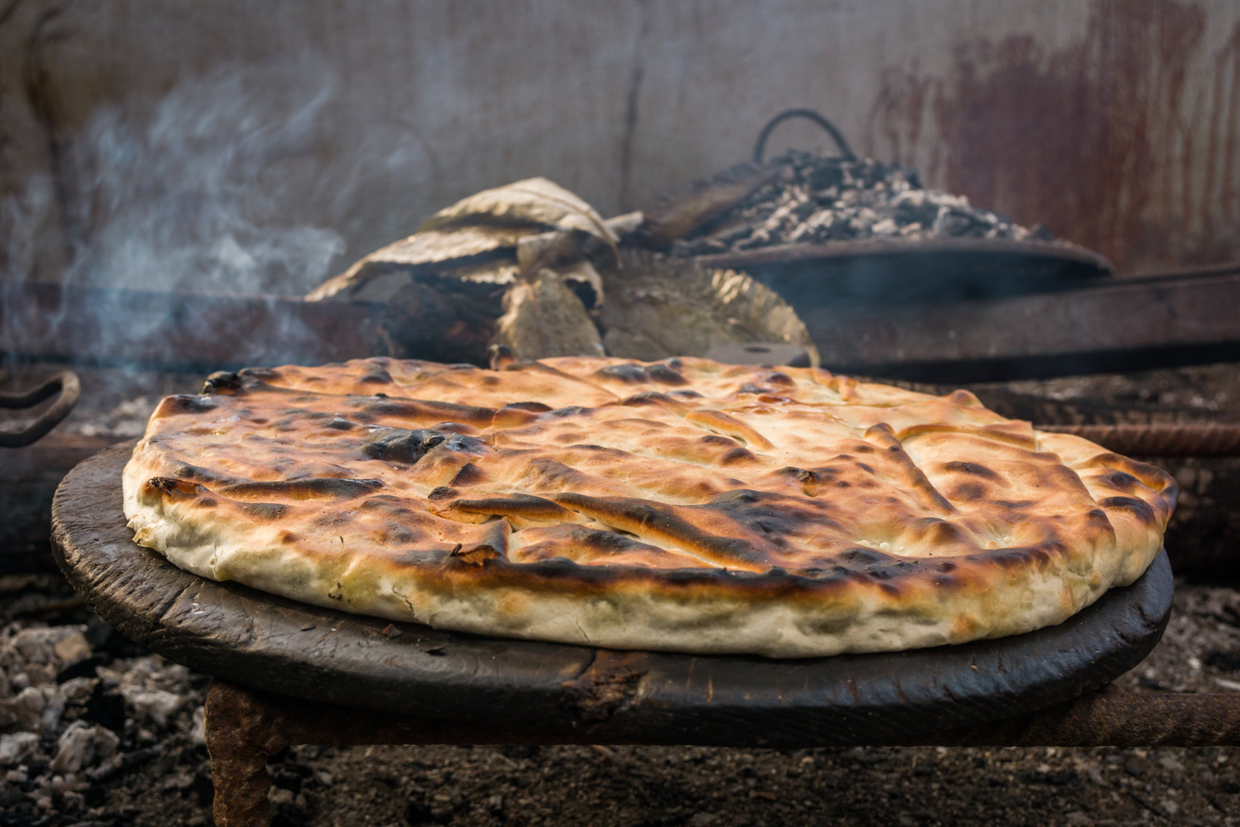
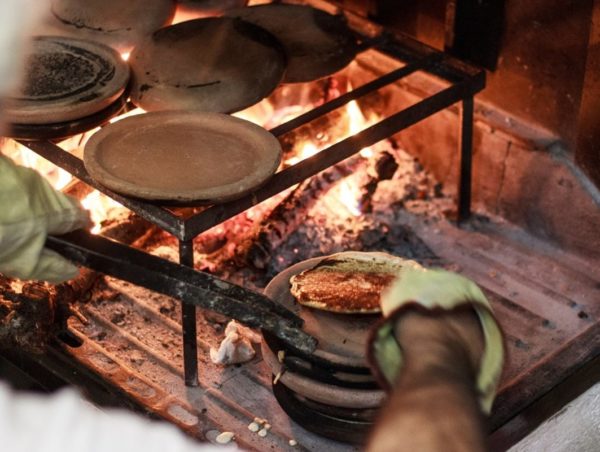
  • The history of the Panigaccio of Podenzana

    The history of Podenzana's Panigaccio, its origins, and importance to the area

  • The sgabei: the ultimate Lunigiana street food…

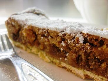
  • Curly pie: recipe and history of a Lunigiana dessert

  • Testaroli: here’s how they make them at the Montagna Verde farmhouse

  • Extra Virgin Olive Oil PGI Hills of Lunigiana

  • Chestnut and acacia honey PDO

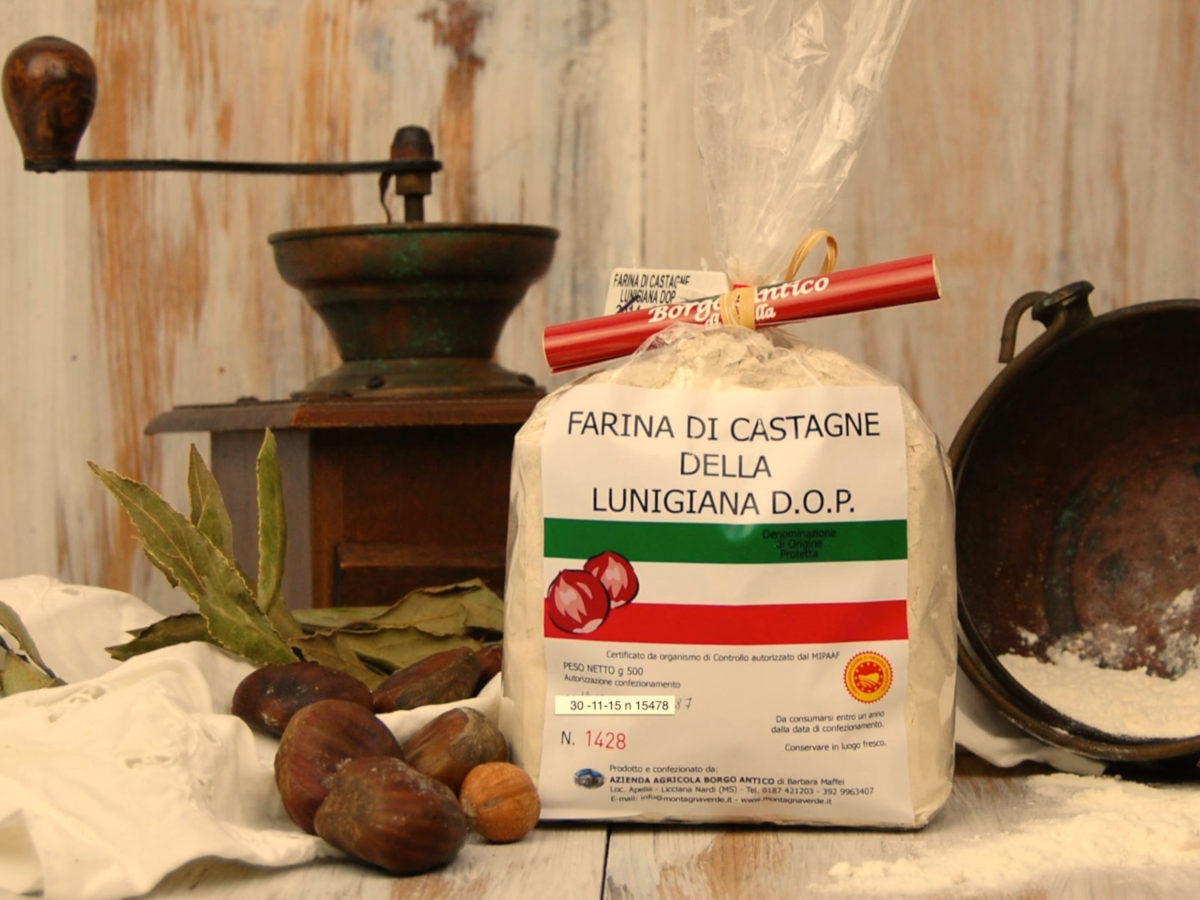
  • Chestnut flour PDO

  • SENTIERO ITALIA- Apuana variant: from Regnano Villa to the Cerreto Pass.

     Length: 19.20 km
     Height difference: 1771m D+ / 1161m D-
     Time: 7h 30 min
  • SENTIERO ITALIA- Apuana variant: from Equi Terme to Regnano Villa

     Length: 16.11 km
     Height difference: 1039m D+ / 661m D-
     Time: 6h 00 min
  • SENTIERO ITALIA- Apuana variant: from ref. Nello Conti to Equi Terme

     Length: 17.26 km
     Height difference: 2043m D+ / 1311m D-
     Time: 9h 00 min
  • ITALY PATH- stage L24: from the Cisa Pass to the Two Saints Pass

     Length: 24.60 km
     Elevation gain: 1186m D+ / 830m D-
     Time: 8h 00 min
  • ITALY PATH- stage L23: from Lago Santo to the Cisa Pass

     Length: 16.07 km
     Height difference: 554m D+ / 1098m D-
     Time: 7h 00 min
  • SENTIERO ITALIA- stage L22: from Pratospilla to Parma’s Lago Santo

     Length: 13.17 km
     Height difference: 972m D+ / 737m D-
     Time: 7h 00 min
  • SENTIERO ITALIA- stage L21: from Rif. Sarzana to Pratospilla

     Length: 7.50 km
     Height difference: 393m D+ / 628m D-
     Time: 5h 00 min
  • SENTIERO ITALIA- stage L20: from Passo del Cerreto to Rif. Sarzana

     Length: 8.13 km
     Elevation gain: 764m D+ / 433m D-
     Time: 6h 00 min
  • THE ROAD OF THE MOUNTAINS: from Colle Fiorito to Pontremoli.

     Length: 26.0 km
     Height difference: 525m D+ / 1313m D-
     Time: 7h 15min
  • Nature Parks

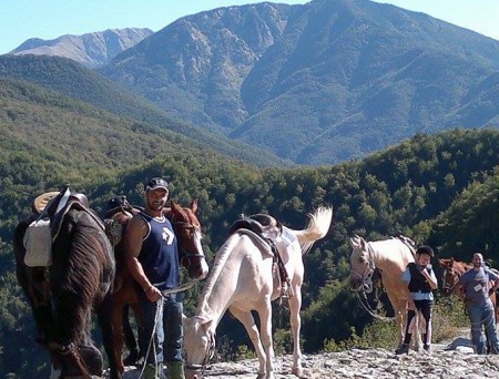
  • Horseback riding routes: between forests and castles

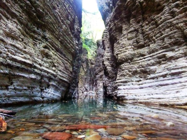
  • The Straits of Giaredo

  • Trail of “Waters and Geosites” in Equi Terme