
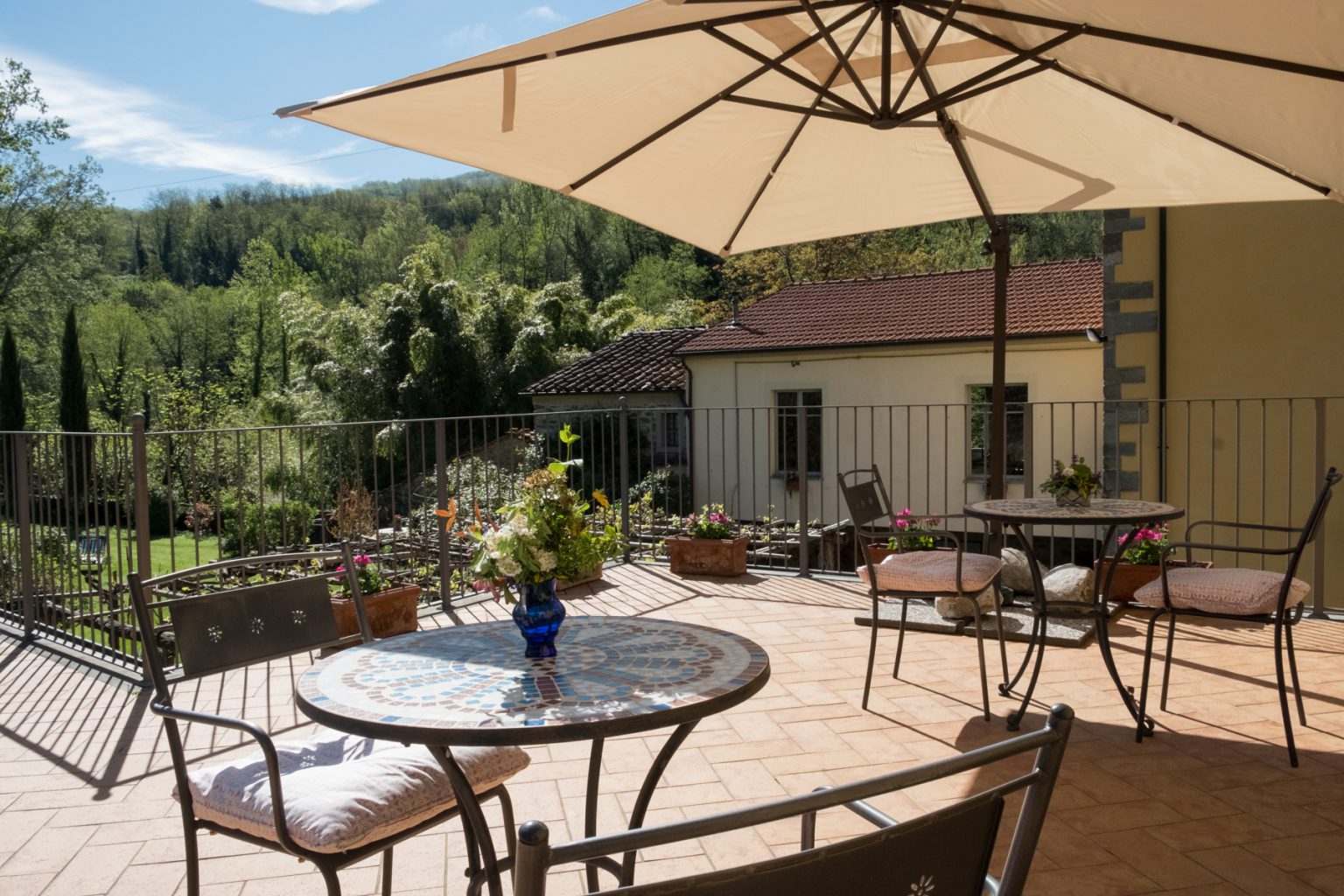
The Watermill at Posara
The Watermill at Posara
Information
Via del Mulino 12/20 - 54013 Posara (MS)
Mobile: +39 327 379 9178
Email: info@watermill.net
Other facilities
FraAndrea Mountain and Climbing
Flour FraAndrea shop was born from the passion for Nature – from the Call of the Wild...
New site for Visitlunigiana.it
All the new features of the new site, a real reference point for those wishing to discover Lunigiana
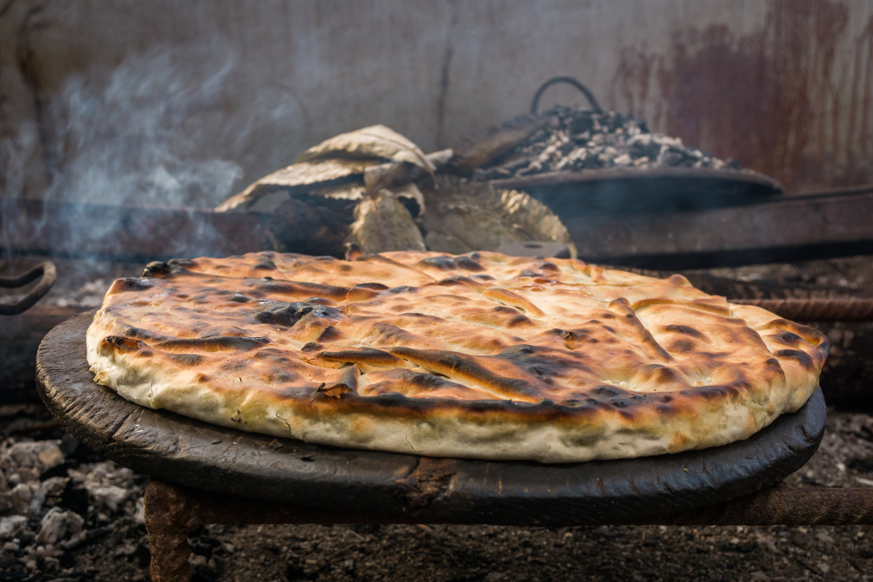
The decalogue of the herbi pie in Lunigiana
Farina Se siete amanti della tradizione e volete gustare i piatti tipici del territorio...
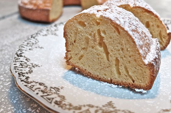
Buccellato, the dessert of the Lunigiana grandmothers…
Farina Uno dei dolci più tipici della Lunigiana è sicuramente il buccellato, preparato dalle...
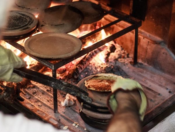
The history of the Panigaccio of Podenzana
The history of Podenzana's Panigaccio, its origins, and importance to the area
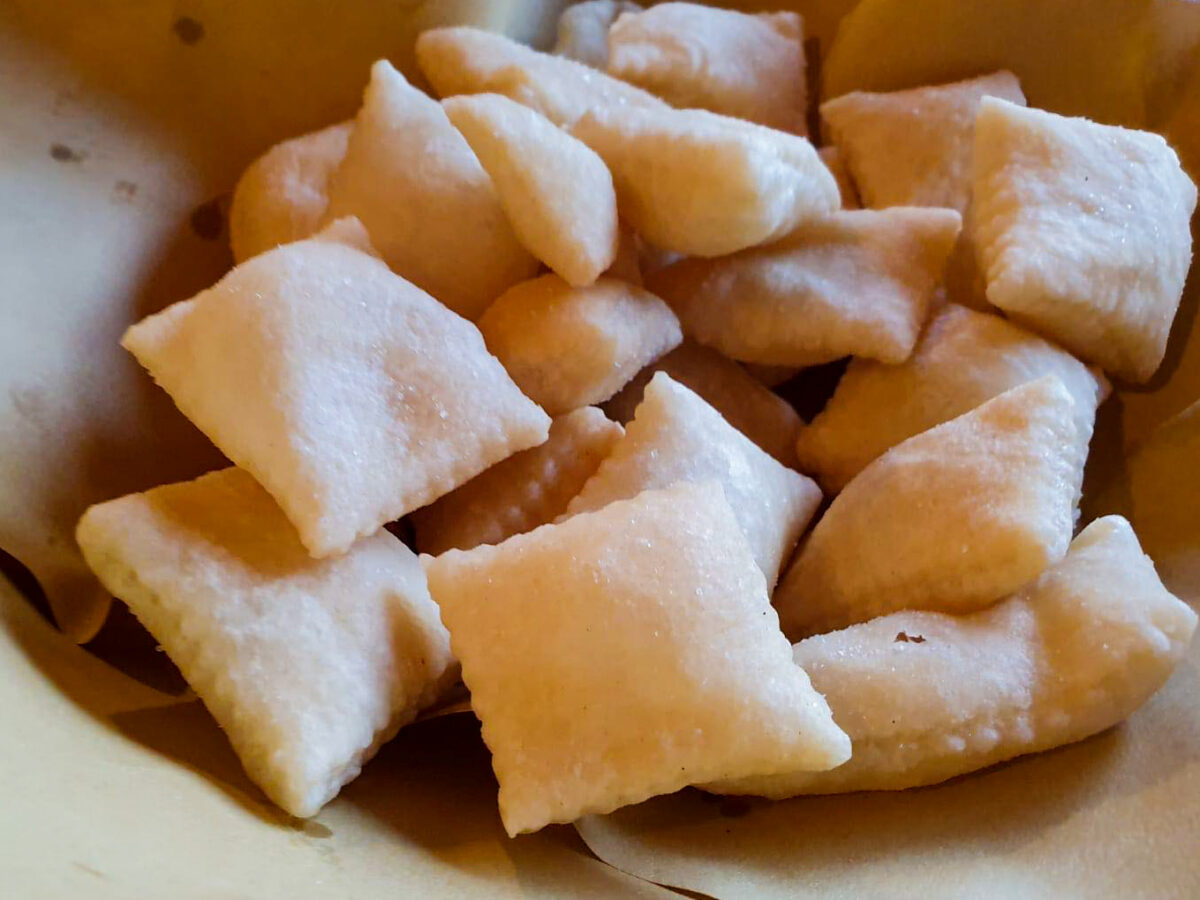
The sgabei: the ultimate Lunigiana street food…
Farina Sono stati il famoso "oggetto di bonus" della puntata lunigianese di 4...
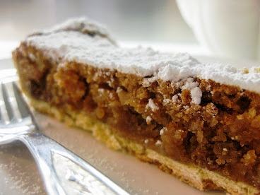
Curly pie: recipe and history of a Lunigiana dessert
Farina E' un dolce tipico della zona di Aulla e Pallerone che veniva preparato...
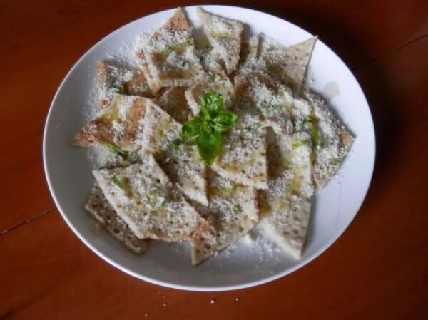
Testaroli: here’s how they make them at the Montagna Verde farmhouse
Farina Il piatto tradizionale per eccellenza di Pontremoli e dell'Alta Lunigiana è senza...
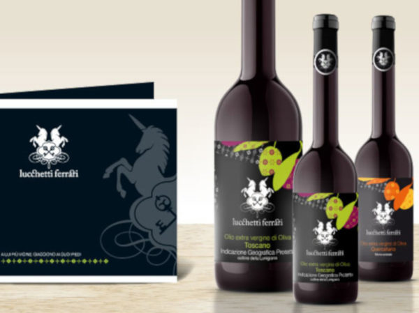
Extra Virgin Olive Oil PGI Hills of Lunigiana
Farina Lunigiana boasts many typical local products among which also a high quality extra-virgin...
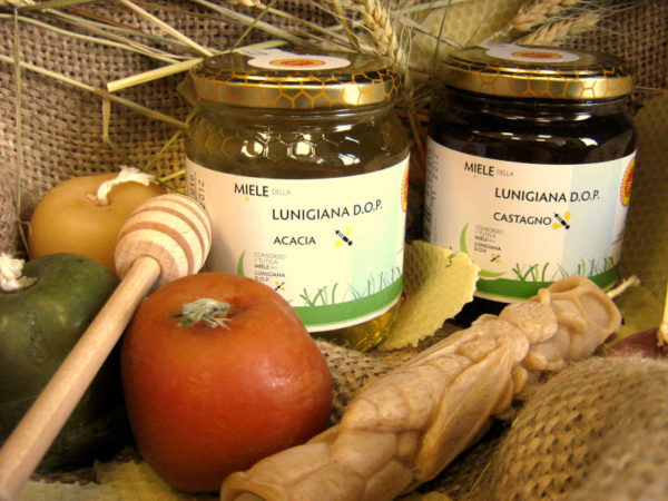
Chestnut and acacia honey PDO
Farina The honey of Lunigiana was the first in Italy to obtain DOP...
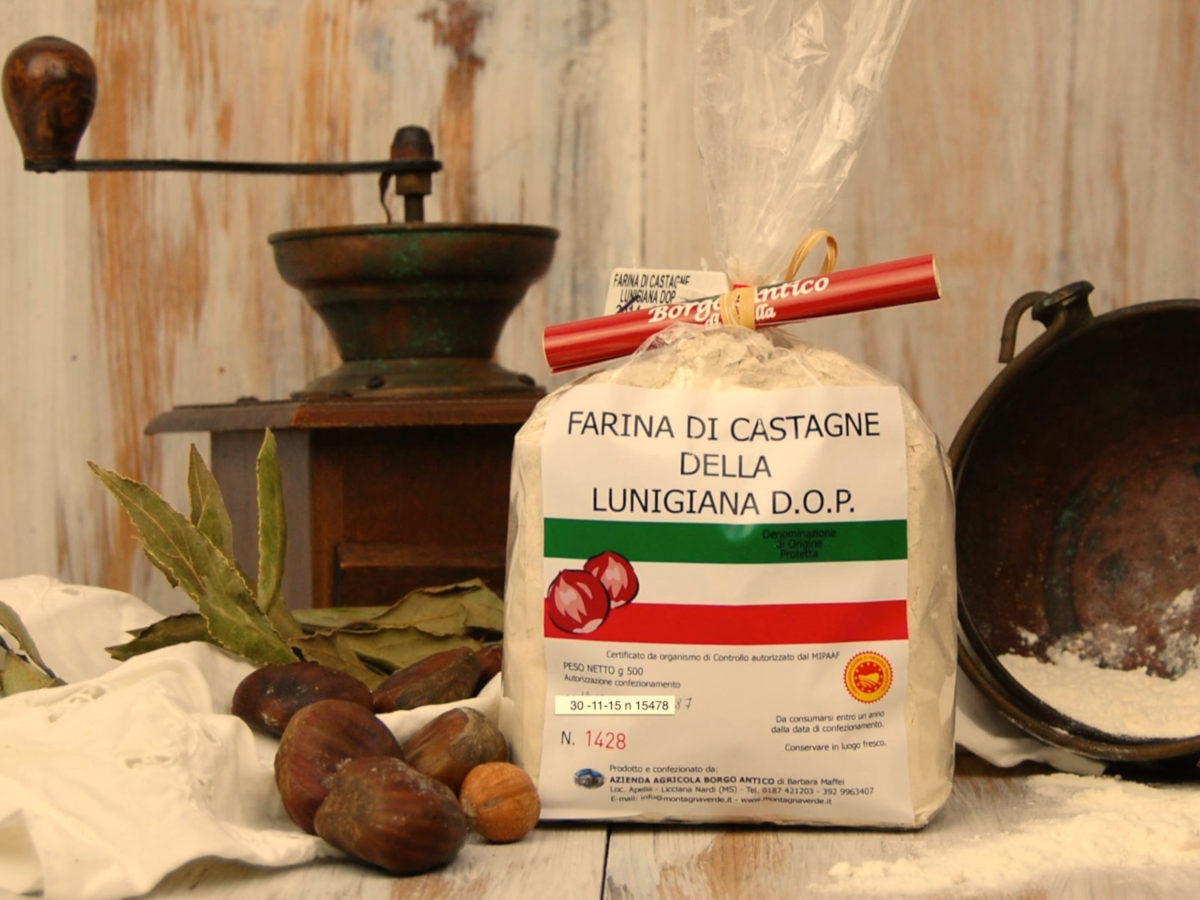
Chestnut flour PDO
Farina Lunigiana chestnut flour is very fine in consistency, ivory-white in colour, and possesses...
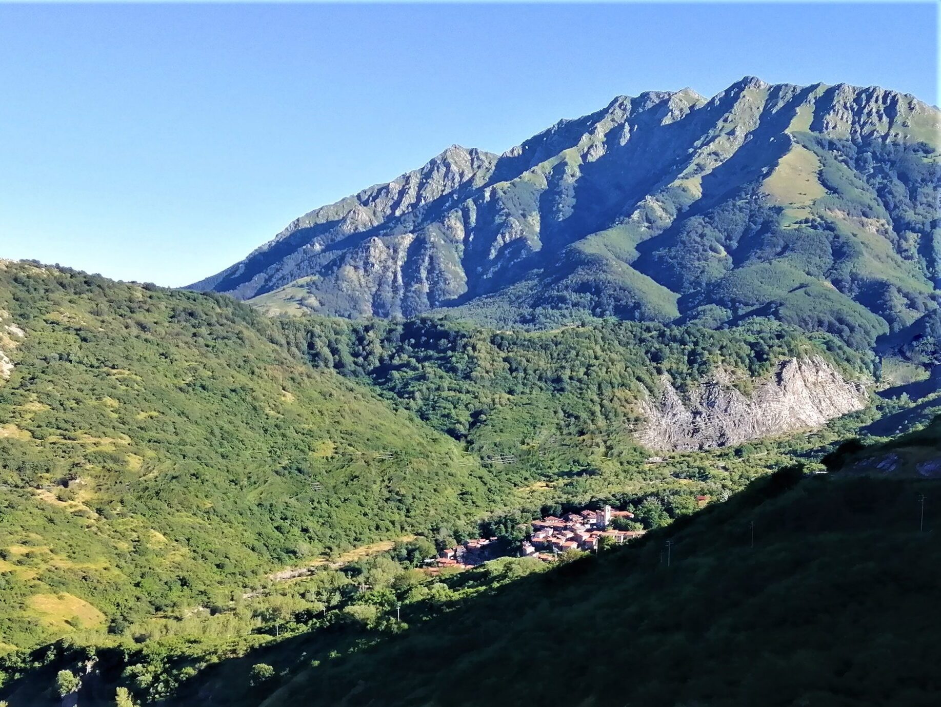
SENTIERO ITALIA- Apuana variant: from Regnano Villa to the Cerreto Pass.
Length: 19.20 km Height difference: 1771m D+ / 1161m D- Time: 7h 30 min 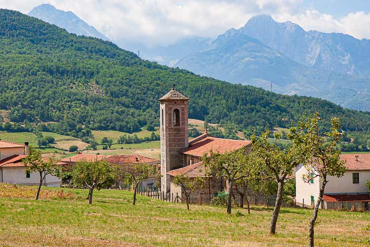
SENTIERO ITALIA- Apuana variant: from Equi Terme to Regnano Villa
Length: 16.11 km Height difference: 1039m D+ / 661m D- Time: 6h 00 min 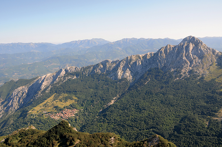
SENTIERO ITALIA- Apuana variant: from ref. Nello Conti to Equi Terme
Length: 17.26 km Height difference: 2043m D+ / 1311m D- Time: 9h 00 min 
ITALY PATH- stage L24: from the Cisa Pass to the Two Saints Pass
Length: 24.60 km Elevation gain: 1186m D+ / 830m D- Time: 8h 00 min 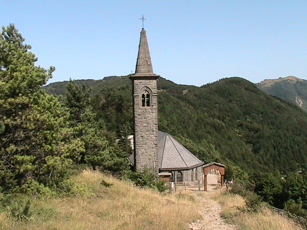
ITALY PATH- stage L23: from Lago Santo to the Cisa Pass
Length: 16.07 km Height difference: 554m D+ / 1098m D- Time: 7h 00 min 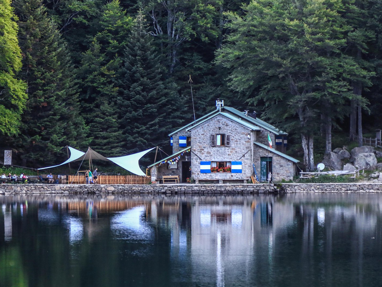
SENTIERO ITALIA- stage L22: from Pratospilla to Parma’s Lago Santo
Length: 13.17 km Height difference: 972m D+ / 737m D- Time: 7h 00 min 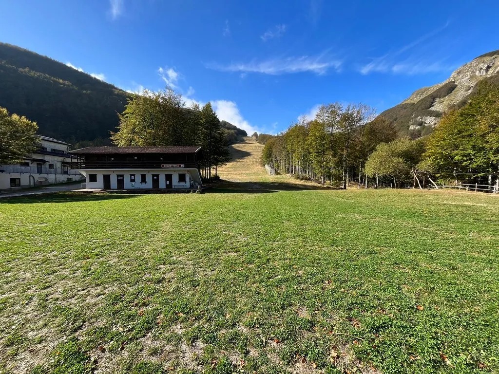
SENTIERO ITALIA- stage L21: from Rif. Sarzana to Pratospilla
Length: 7.50 km Height difference: 393m D+ / 628m D- Time: 5h 00 min 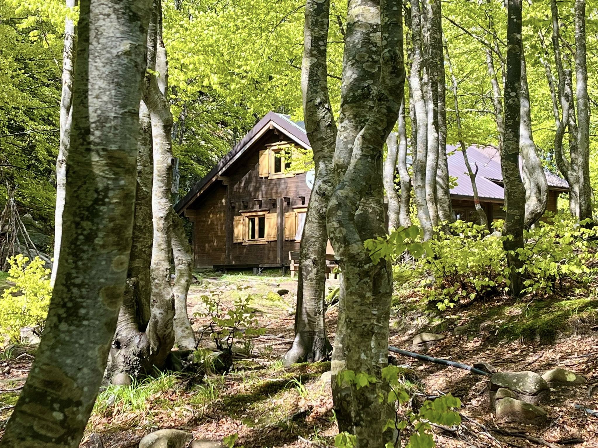
SENTIERO ITALIA- stage L20: from Passo del Cerreto to Rif. Sarzana
Length: 8.13 km Elevation gain: 764m D+ / 433m D- Time: 6h 00 min 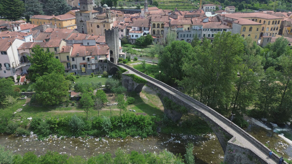
THE ROAD OF THE MOUNTAINS: from Colle Fiorito to Pontremoli.
Length: 26.0 km Height difference: 525m D+ / 1313m D- Time: 7h 15min 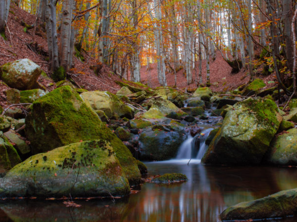
Nature Parks
Your Content Goes Here Appennino Tosco Emiliano National Parkwww.parcoappennino.itApuan Alps Regional Parkwww.parcapuane.it In Lunigiana, in addition to numerous protected...
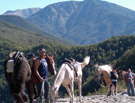
Horseback riding routes: between forests and castles
Your Content Goes Here Duration: one day. Difficulty: medium For more info and excursions with a qualified guide contact...
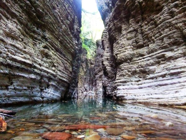
The Straits of Giaredo
Your Content Goes Here Protected Area Special Area of Conservation "Gordana Stream Valley"web: www.strettidigiaredo.org The Straits of Giaredo are...
Trail of “Waters and Geosites” in Equi Terme
Your Content Goes Here DEPARTURE AND ARRIVAL: Equi Terme/ Monzone (Fivizzano)LENGTH: 4.66 kmDEVELOPMENT: 186 mDIFFICULTY: ECARTOGRAPHY: Eastern Lunigiana, Geomedia 2018...