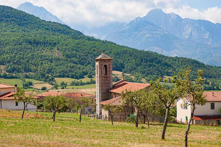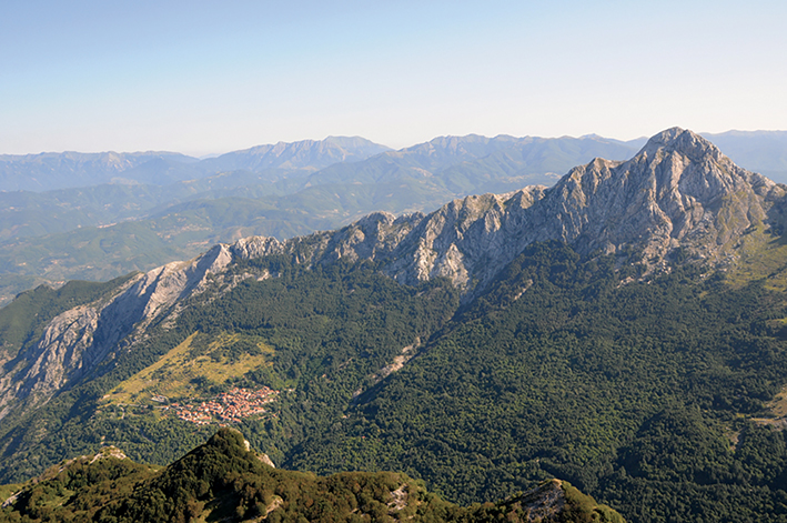

Sunset from Mount Sagro

Sunset from Mount Sagro
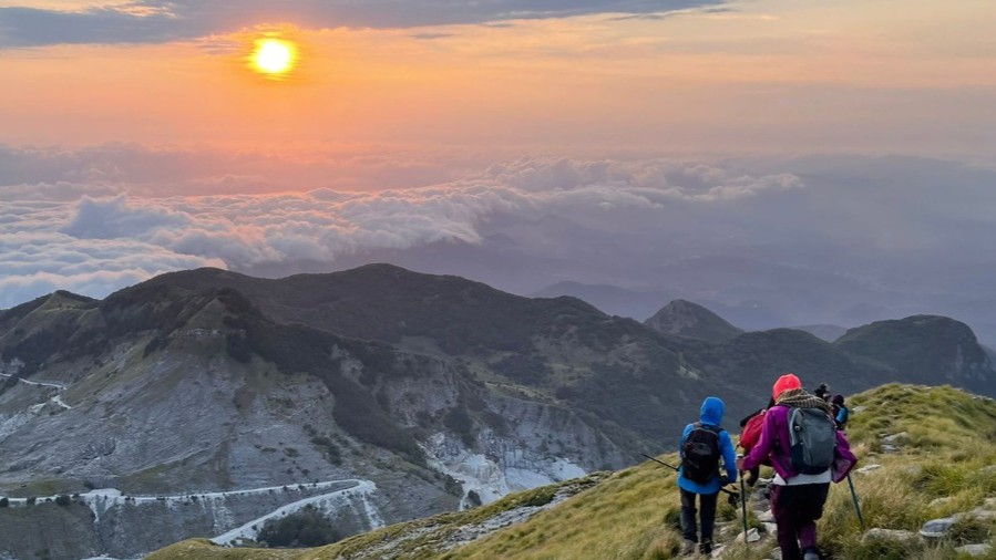
With Apuaneguide climb to the easy and scenic peak of the Apuan Alps to watch the sunset

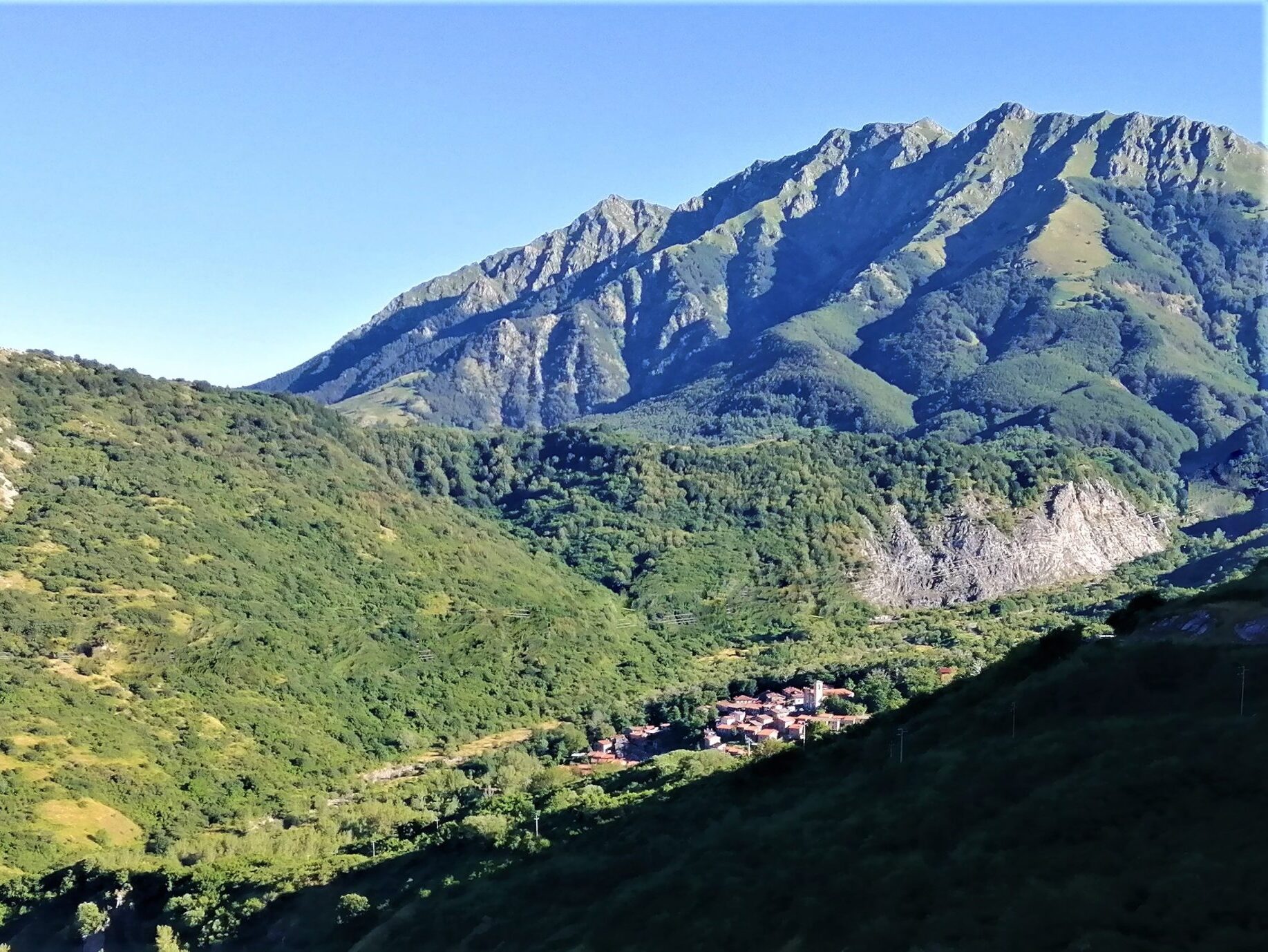
Il Mount Sagro was considered by the ancient Apuans to be a great temple from which to contemplate creation, a "sacred" place whose ascent was considered purifying and propitiatory, essential for living in harmony with the natural forces of the world and the severe surrounding mountains, the Apuan Alps.

Apuaneguide will accompany you to the top of the mountain in the late afternoon to witness, at the most magical hour, the sunset. Return to the valley at night, with the aid of headlamps.

  • Height difference: 500 meters
  • Technical difficulty of the hike: E (CAI difficulty scale)

Information

Apuaneguide

Address: c/o FraAndrea Mountain and Climbing
Piazza Vittorio Emanuele II, 15
Fivizzano (MS)

Email: info@apuaneguide.it
Tel: Andrea +39 333 537 1868

  • Participation: can be activated by reservation

  • Price: guide service € 25 per person

  • Participants: minimum 7, maximum 15

Other experiences

  • FraAndrea Mountain and Climbing

  • New site for Visitlunigiana.it

    All the new features of the new site, a real reference point for those wishing to discover Lunigiana

  • The decalogue of the herbi pie in Lunigiana

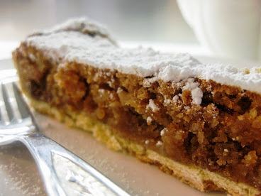
  • Buccellato, the dessert of the Lunigiana grandmothers…

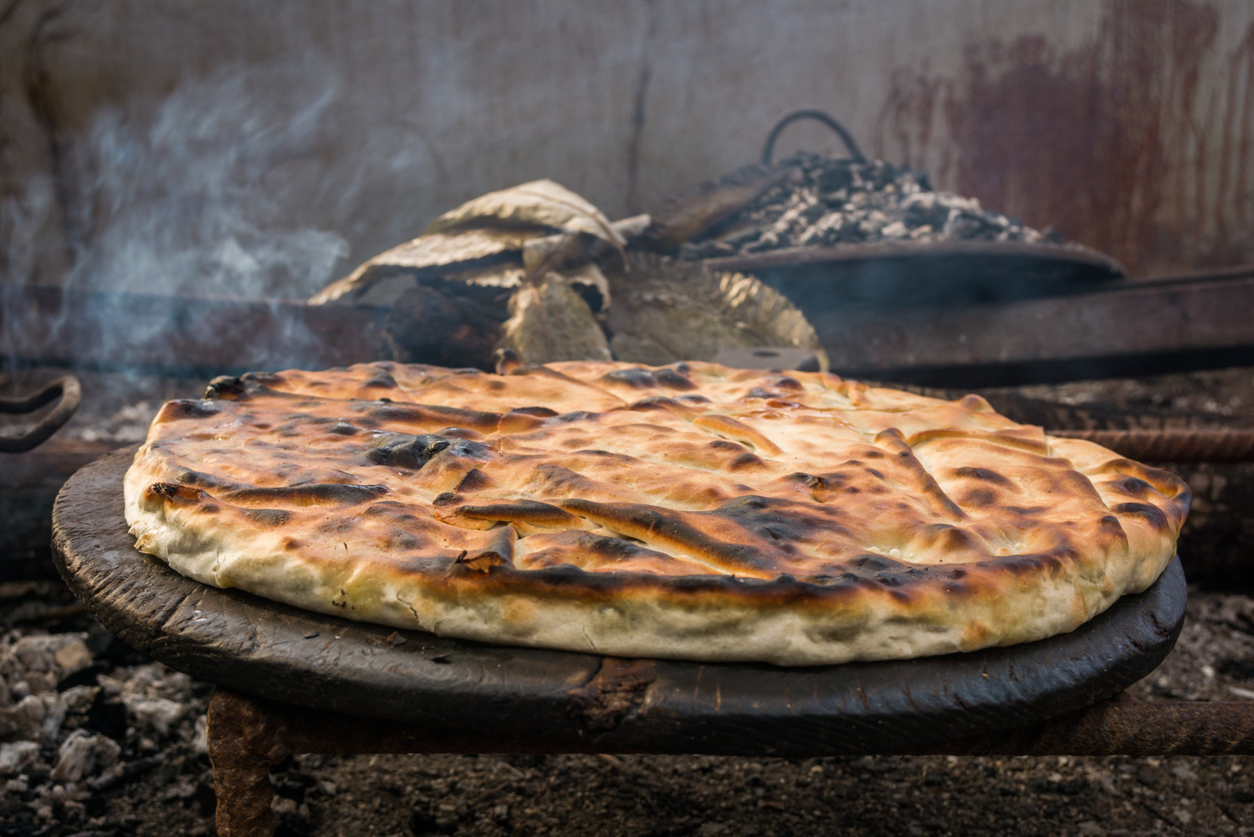
  • The history of the Panigaccio of Podenzana

    The history of Podenzana's Panigaccio, its origins, and importance to the area

  • The sgabei: the ultimate Lunigiana street food…

  • Curly pie: recipe and history of a Lunigiana dessert

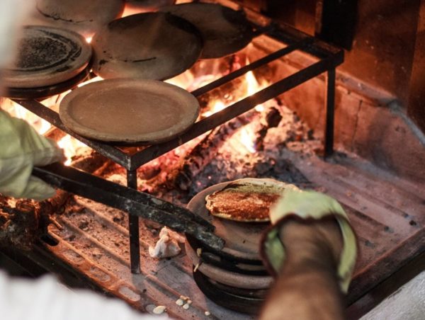
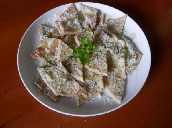
  • Testaroli: here’s how they make them at the Montagna Verde farmhouse

  • Extra Virgin Olive Oil PGI Hills of Lunigiana

  • Chestnut and acacia honey PDO

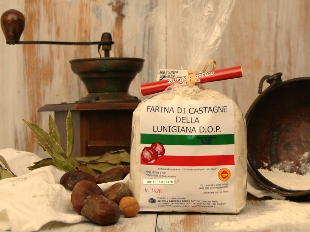
  • Chestnut flour PDO

  • SENTIERO ITALIA- Apuana variant: from Regnano Villa to the Cerreto Pass.

     Length: 19.20 km
     Height difference: 1771m D+ / 1161m D-
     Time: 7h 30 min
  • SENTIERO ITALIA- Apuana variant: from Equi Terme to Regnano Villa

     Length: 16.11 km
     Height difference: 1039m D+ / 661m D-
     Time: 6h 00 min
  • SENTIERO ITALIA- Apuana variant: from ref. Nello Conti to Equi Terme

     Length: 17.26 km
     Height difference: 2043m D+ / 1311m D-
     Time: 9h 00 min
  • ITALY PATH- stage L24: from the Cisa Pass to the Two Saints Pass

     Length: 24.60 km
     Elevation gain: 1186m D+ / 830m D-
     Time: 8h 00 min
  • ITALY PATH- stage L23: from Lago Santo to the Cisa Pass

     Length: 16.07 km
     Height difference: 554m D+ / 1098m D-
     Time: 7h 00 min
  • SENTIERO ITALIA- stage L22: from Pratospilla to Parma’s Lago Santo

     Length: 13.17 km
     Height difference: 972m D+ / 737m D-
     Time: 7h 00 min
  • SENTIERO ITALIA- stage L21: from Rif. Sarzana to Pratospilla

     Length: 7.50 km
     Height difference: 393m D+ / 628m D-
     Time: 5h 00 min
  • SENTIERO ITALIA- stage L20: from Passo del Cerreto to Rif. Sarzana

     Length: 8.13 km
     Elevation gain: 764m D+ / 433m D-
     Time: 6h 00 min
  • THE ROAD OF THE MOUNTAINS: from Colle Fiorito to Pontremoli.

     Length: 26.0 km
     Height difference: 525m D+ / 1313m D-
     Time: 7h 15min
  • Nature Parks

  • Horseback riding routes: between forests and castles

  • The Straits of Giaredo

  • Trail of “Waters and Geosites” in Equi Terme