
Guided excursion to the Hermitage of St. George

Guided excursion to the Hermitage of St. George
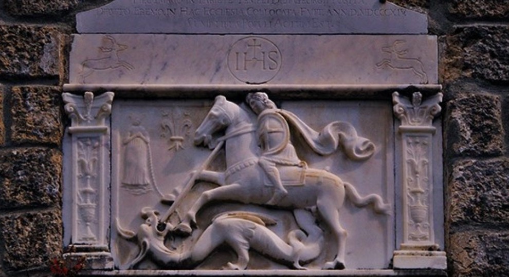
An itinerary in eastern Lunigiana to discover saints, brigands, knights and dragons...

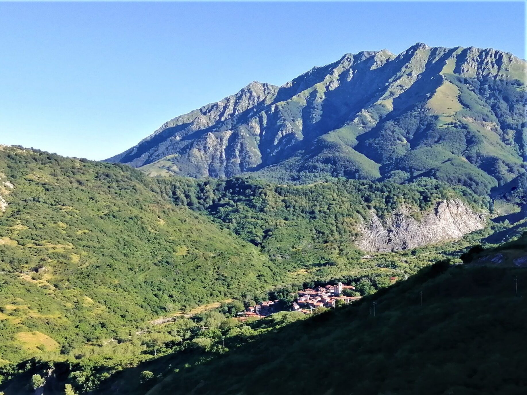
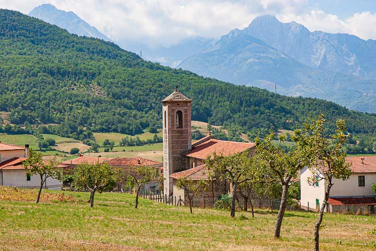
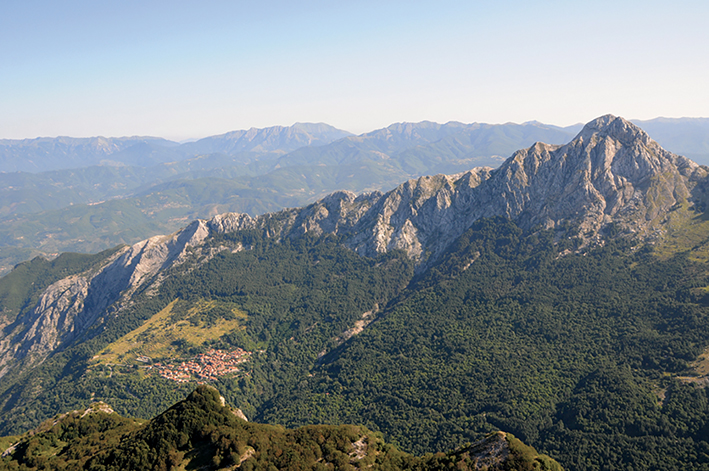
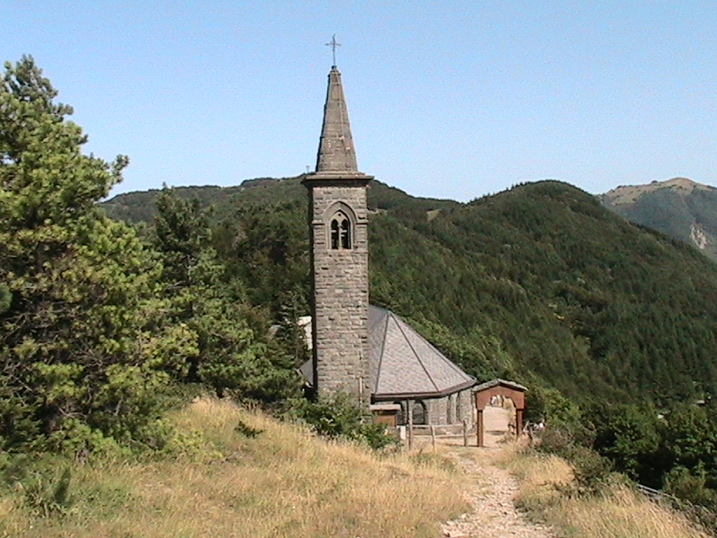
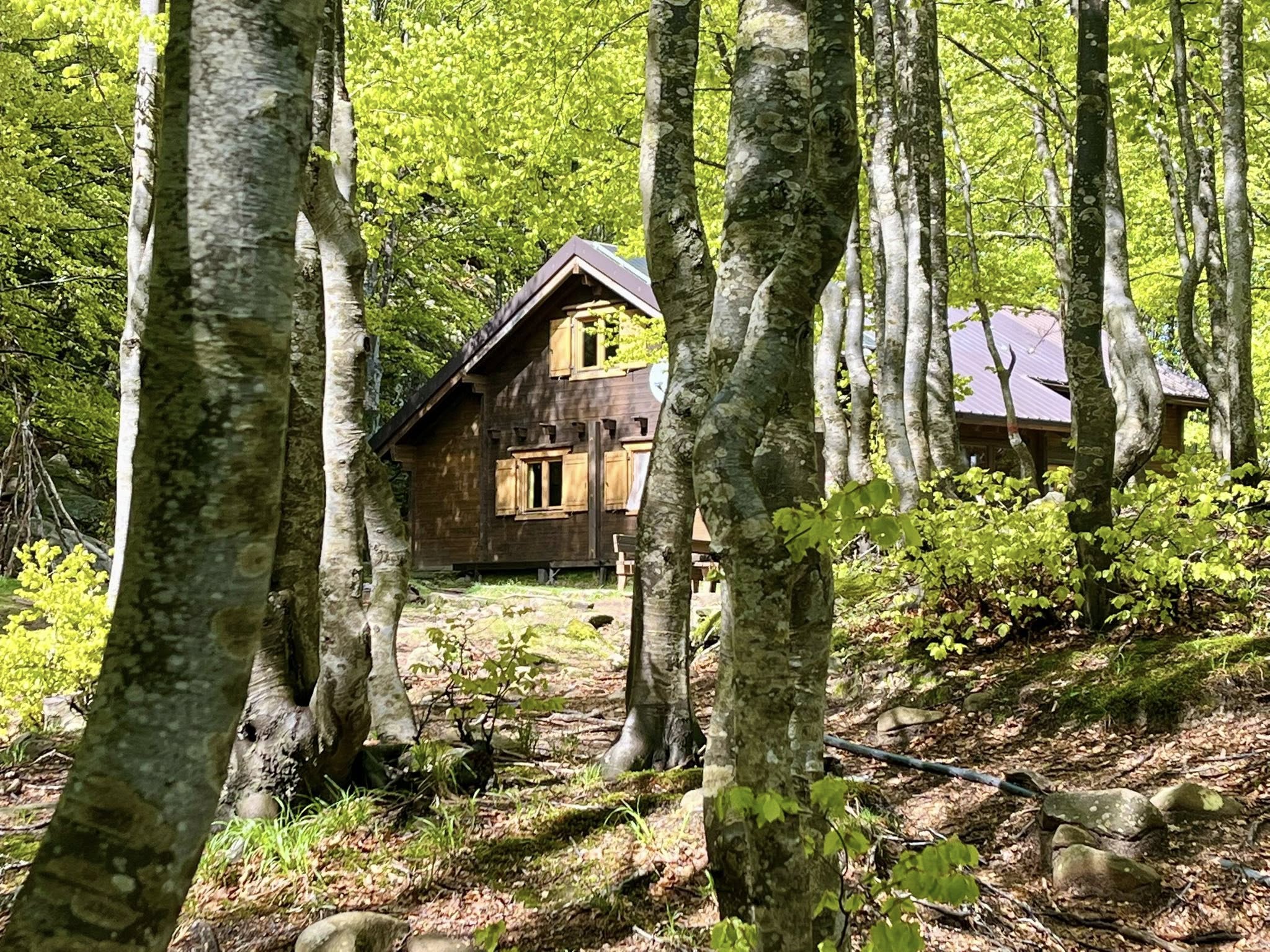
Nn the Valley of the Lucido River, which as the famous naturalist Antonio Vallisneri wrote "Lucido per non intorbidar mai," on a spur of the northern buttress of Pizzo d'Uccello, at an altitude of 920 meters are the remains of theHermitage of San Giorgio, can be reached by climbing an 'ancient mule track now overgrown by the forest, which begins at the Church of Aiola, just before the ruins of Castellaccio.

According to legend, its builder was one of the dangerous brigands who haunted those valleys, who graced by Divine forgiveness became a saint.
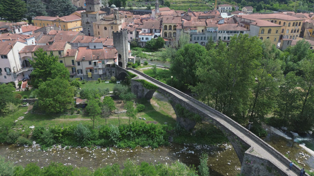
An enthralling hike among ancient ruins, castles, wandering knights and repentant brigands, in the unique setting of the Apuan Alps.

  • Difficulty E some stretch EE (CAI scale)
  • Height difference 800 meters -
  • Length: 12 km
Information

Apuaneguide

Address: c/o FraAndrea Mountain and Climbing
Piazza Vittorio Emanuele II, 15
Fivizzano (MS)

Email: info@apuaneguide.it
Tel: Andrea +39 333 537 1868

  • Participation: can be activated by reservation

  • Price: guide service € 30 per person

  • Participants: minimum 6, maximum 12

Other experiences

  • FraAndrea Mountain and Climbing

  • New site for Visitlunigiana.it

    All the new features of the new site, a real reference point for those wishing to discover Lunigiana

  • The decalogue of the herbi pie in Lunigiana

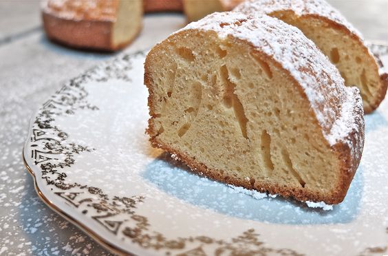
  • Buccellato, the dessert of the Lunigiana grandmothers…

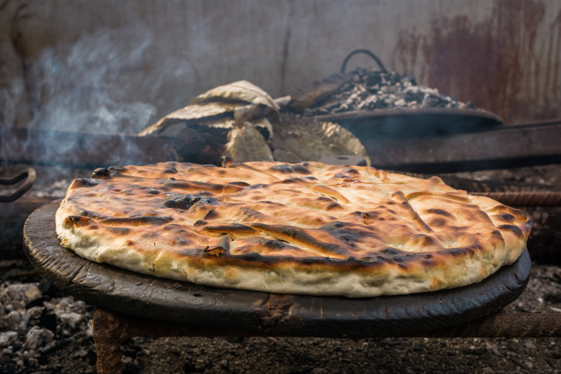
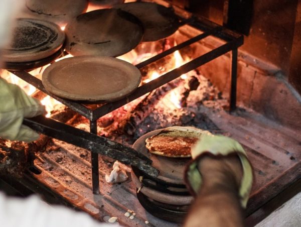
  • The history of the Panigaccio of Podenzana

    The history of Podenzana's Panigaccio, its origins, and importance to the area

  • The sgabei: the ultimate Lunigiana street food…

  • Curly pie: recipe and history of a Lunigiana dessert

  • Testaroli: here’s how they make them at the Montagna Verde farmhouse

  • Extra Virgin Olive Oil PGI Hills of Lunigiana

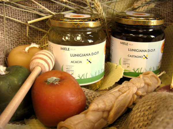
  • Chestnut and acacia honey PDO

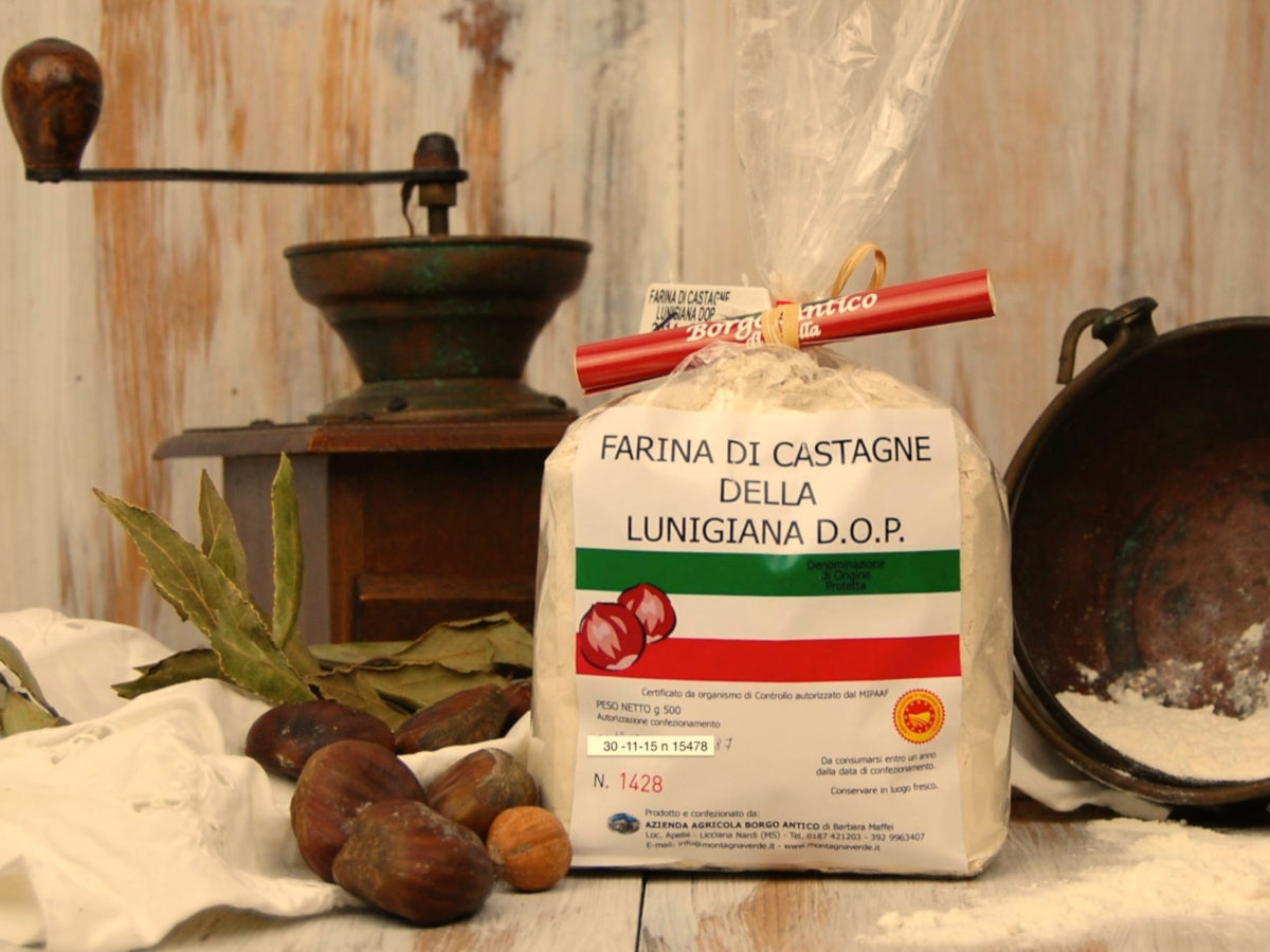
  • Chestnut flour PDO

  • SENTIERO ITALIA- Apuana variant: from Regnano Villa to the Cerreto Pass.

     Length: 19.20 km
     Height difference: 1771m D+ / 1161m D-
     Time: 7h 30 min
  • SENTIERO ITALIA- Apuana variant: from Equi Terme to Regnano Villa

     Length: 16.11 km
     Height difference: 1039m D+ / 661m D-
     Time: 6h 00 min
  • SENTIERO ITALIA- Apuana variant: from ref. Nello Conti to Equi Terme

     Length: 17.26 km
     Height difference: 2043m D+ / 1311m D-
     Time: 9h 00 min
  • ITALY PATH- stage L24: from the Cisa Pass to the Two Saints Pass

     Length: 24.60 km
     Elevation gain: 1186m D+ / 830m D-
     Time: 8h 00 min
  • ITALY PATH- stage L23: from Lago Santo to the Cisa Pass

     Length: 16.07 km
     Height difference: 554m D+ / 1098m D-
     Time: 7h 00 min
  • SENTIERO ITALIA- stage L22: from Pratospilla to Parma’s Lago Santo

     Length: 13.17 km
     Height difference: 972m D+ / 737m D-
     Time: 7h 00 min
  • SENTIERO ITALIA- stage L21: from Rif. Sarzana to Pratospilla

     Length: 7.50 km
     Height difference: 393m D+ / 628m D-
     Time: 5h 00 min
  • SENTIERO ITALIA- stage L20: from Passo del Cerreto to Rif. Sarzana

     Length: 8.13 km
     Elevation gain: 764m D+ / 433m D-
     Time: 6h 00 min
  • THE ROAD OF THE MOUNTAINS: from Colle Fiorito to Pontremoli.

     Length: 26.0 km
     Height difference: 525m D+ / 1313m D-
     Time: 7h 15min
  • Nature Parks

  • Horseback riding routes: between forests and castles

  • The Straits of Giaredo

  • Trail of “Waters and Geosites” in Equi Terme