
Excursion to discover the Rosaro Valley

Excursion to discover the Rosaro Valley
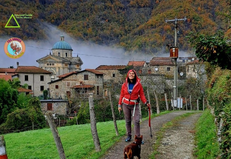
A guided hike with Apuaneguide among the ancient villages around Fivizzano

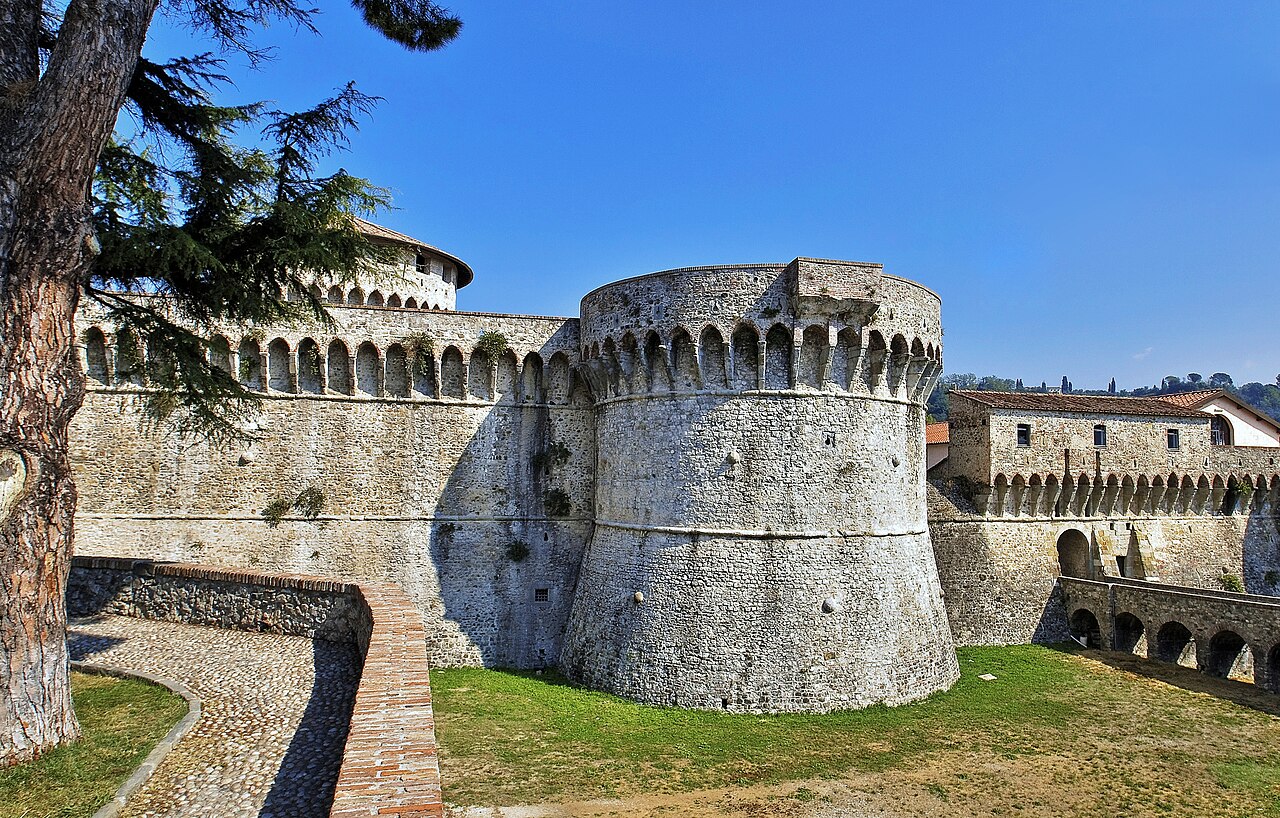
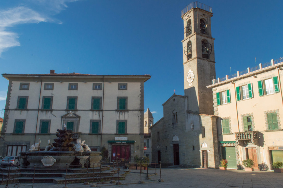
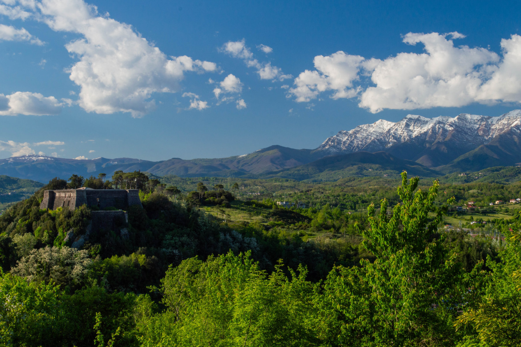
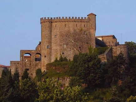
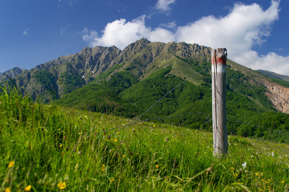
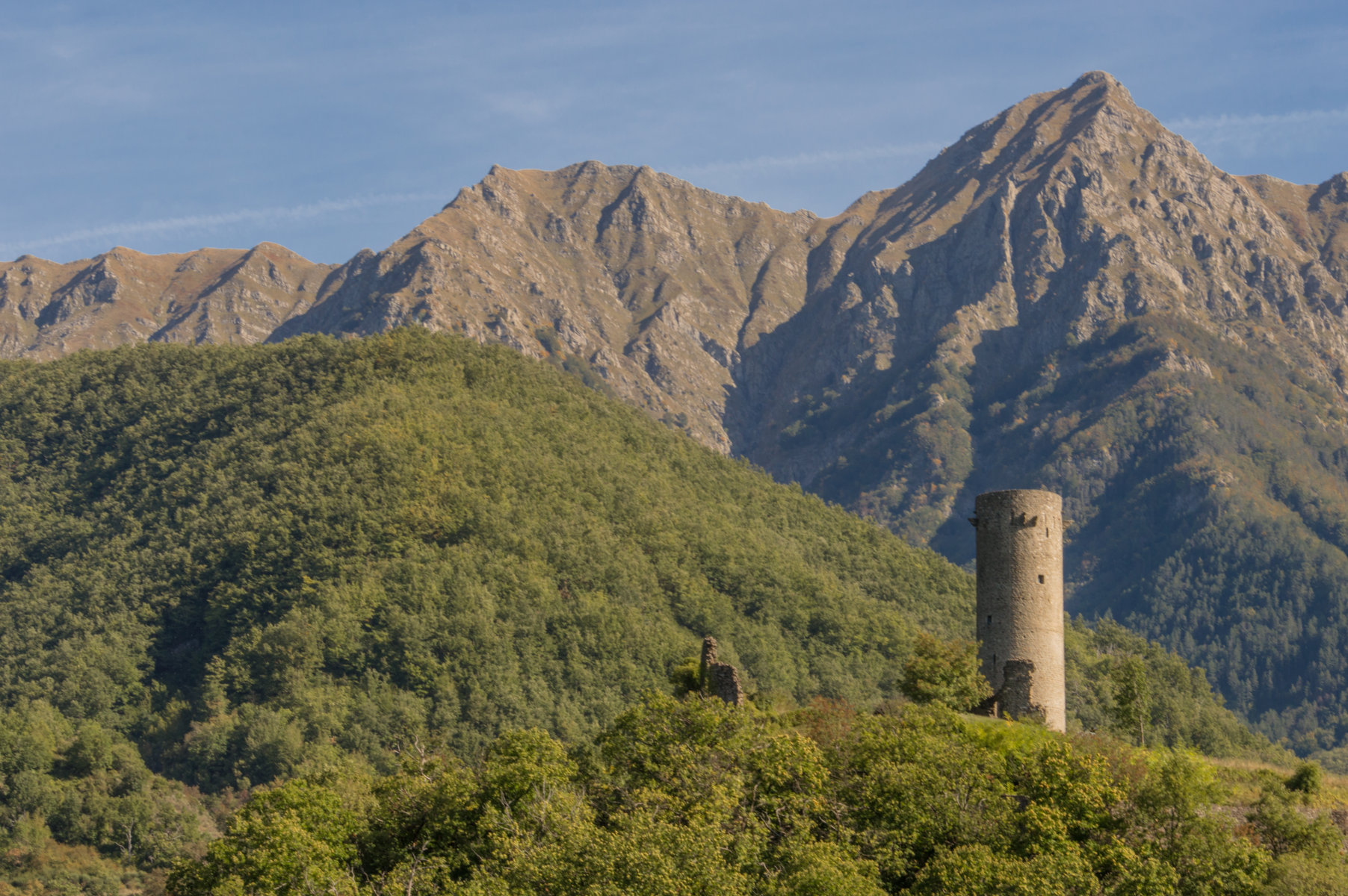
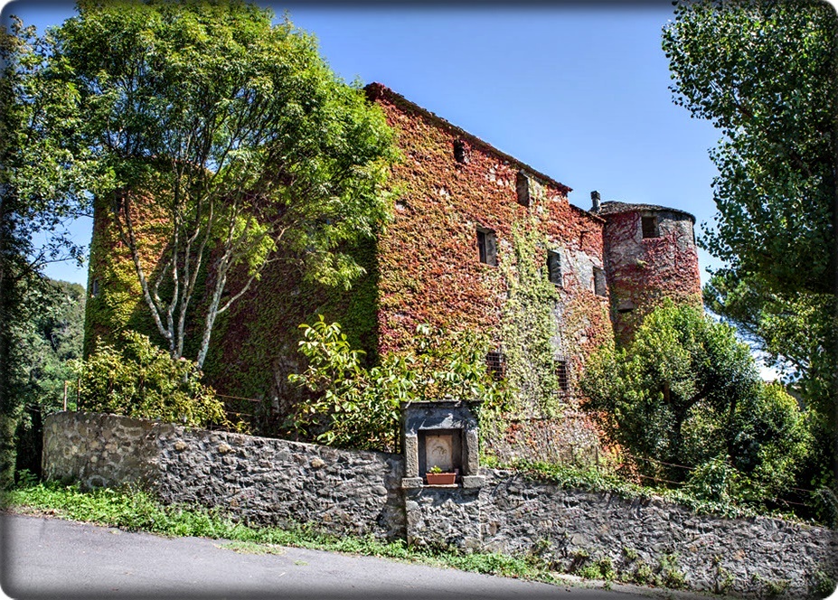
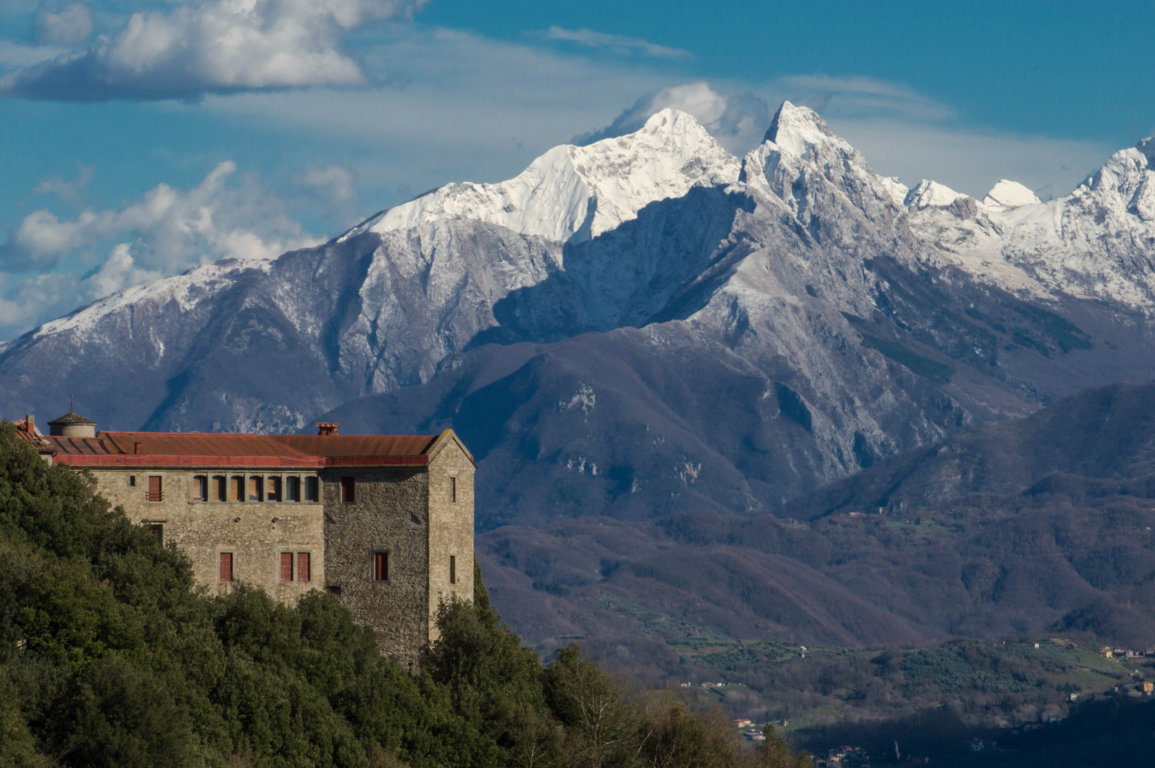
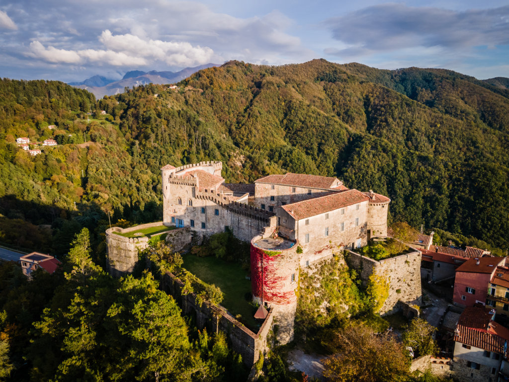
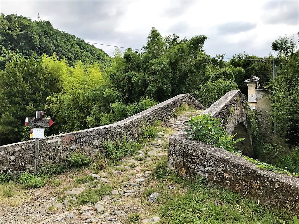
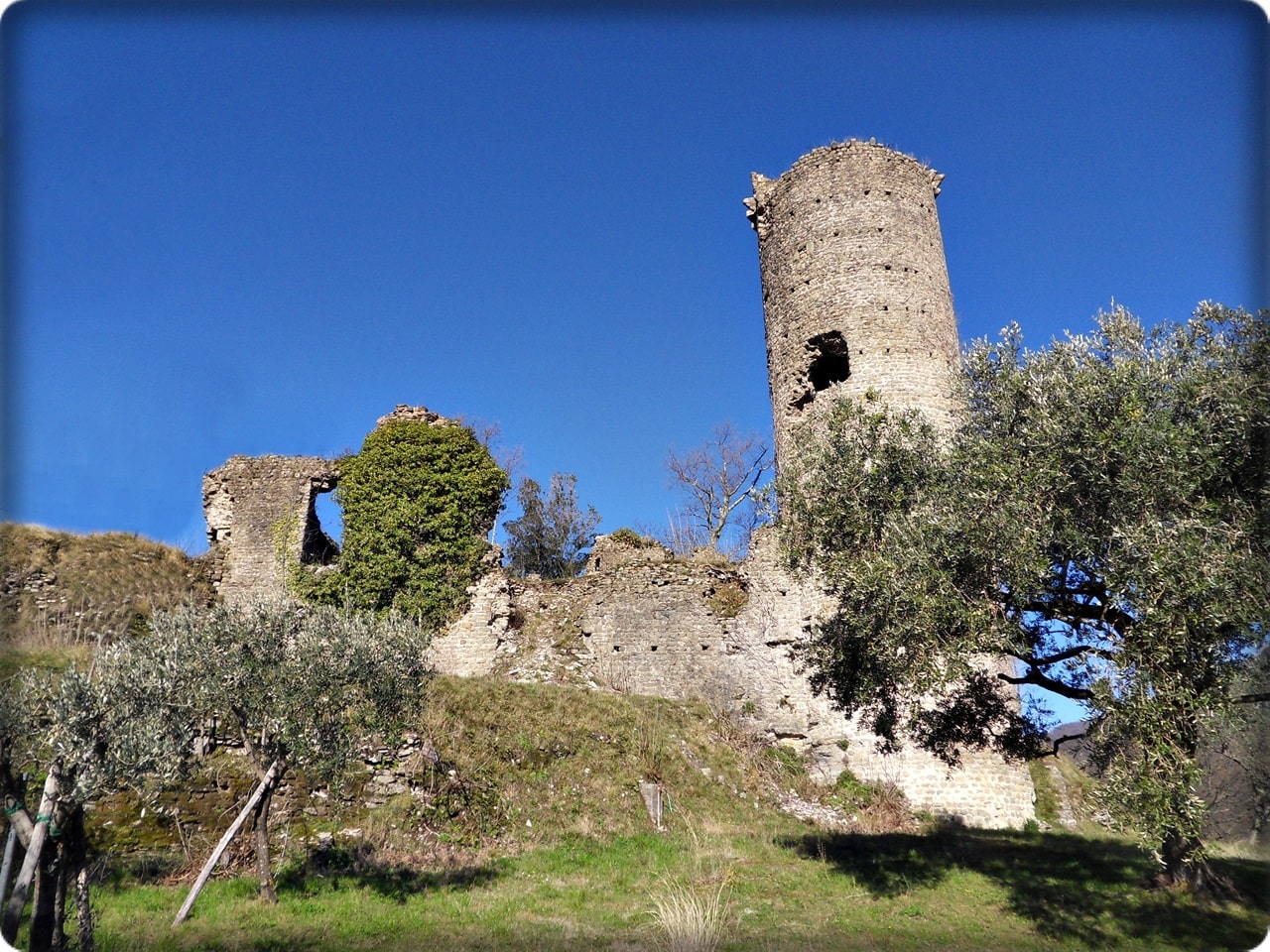
Lhe Lunigiana, Land of the Moon, the last strip of northern Tuscany, is a vast and rich territory, dotted with historic villages, castles, churches and Romanesque parish churches, immersed in a powerful and pervasive nature. Of this territory Fivizzano is one of the most important historical and geographical places. Here the Rosaro torrent-which originates from Monte la Nuda-deeply etches the entire Fivizzano territory, giving natural environments and unique views of the northern Apuan Alps and the nearby Appennino Tosco Emiliano National Park.

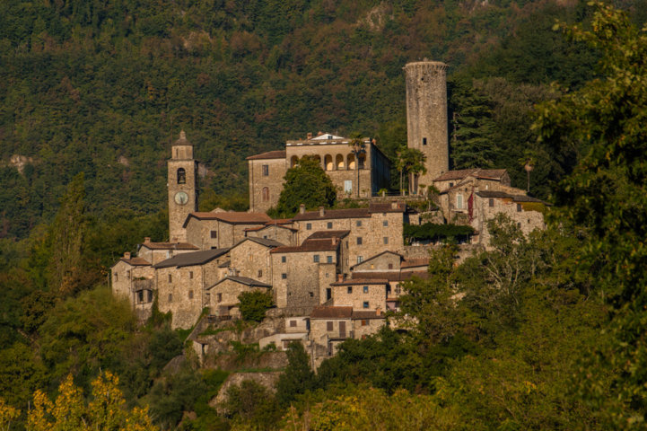
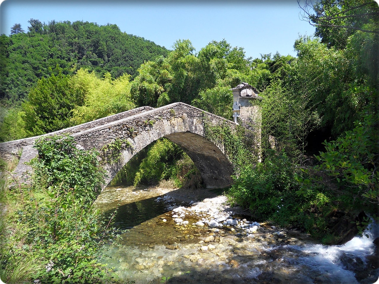
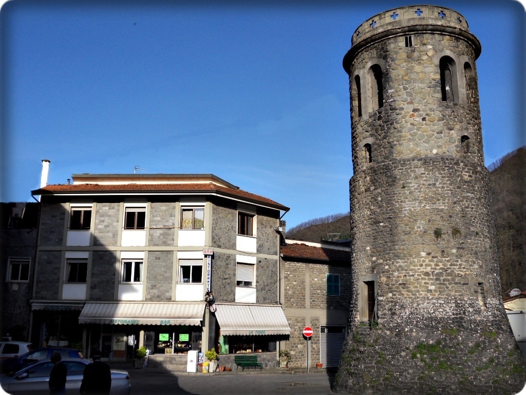
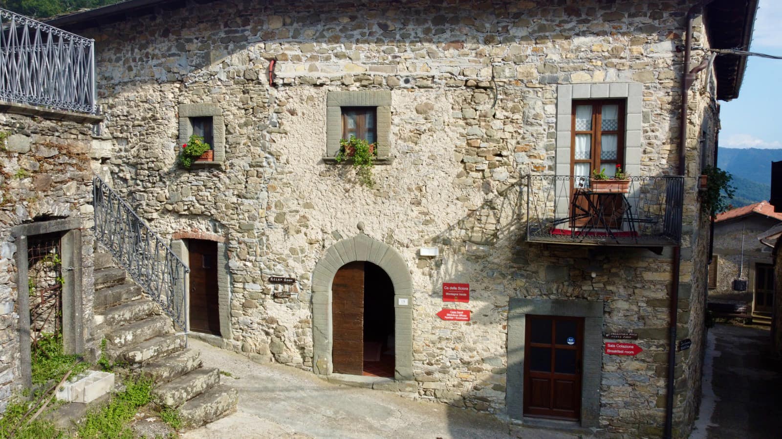
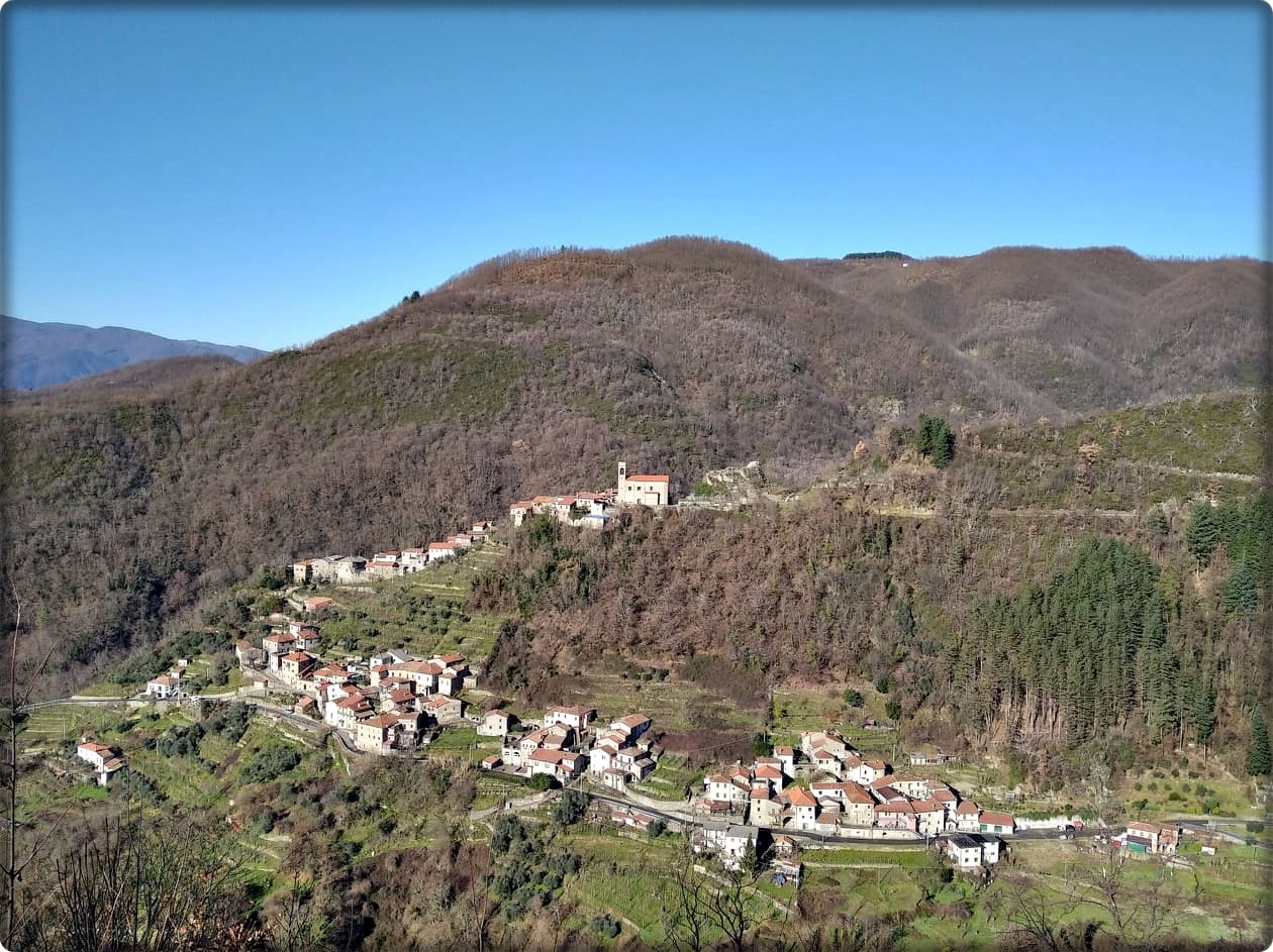
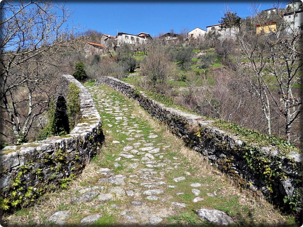
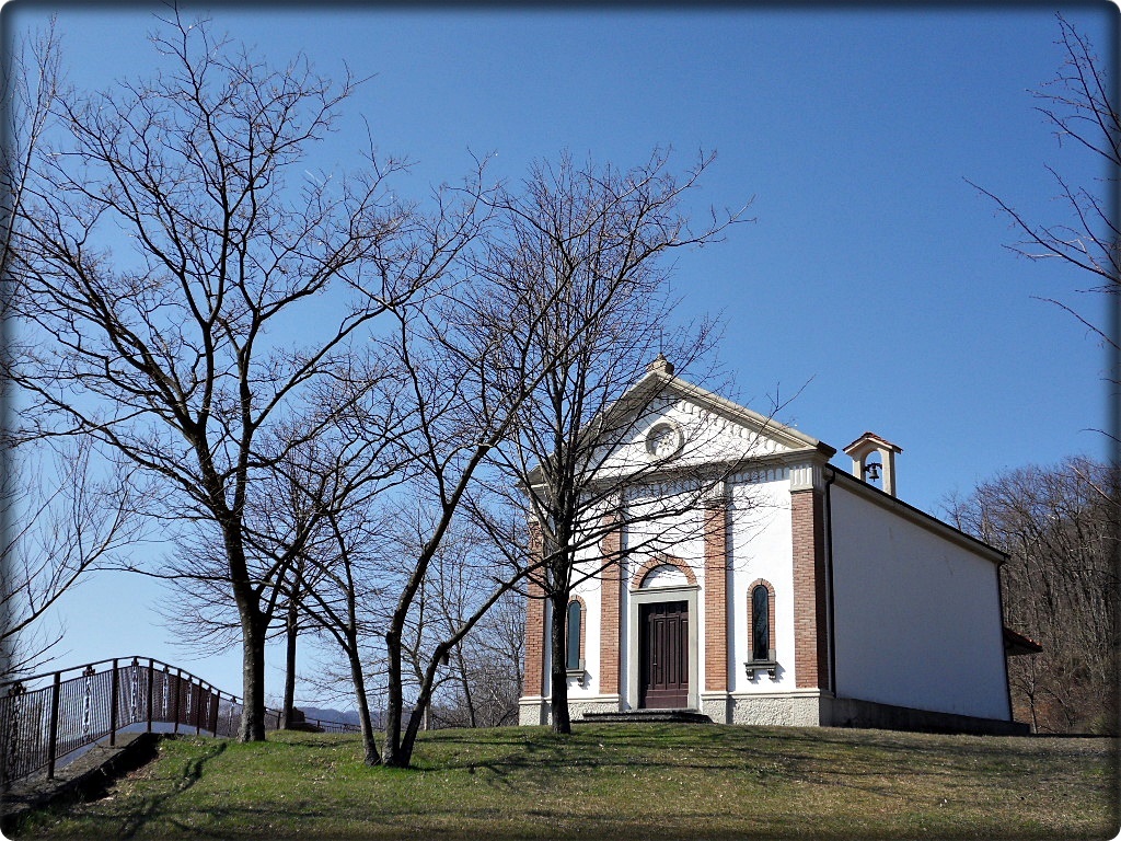
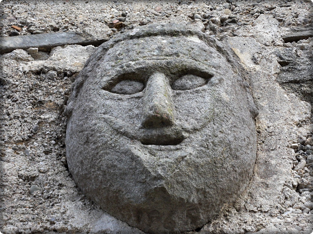
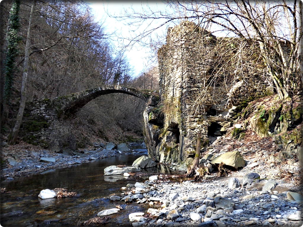
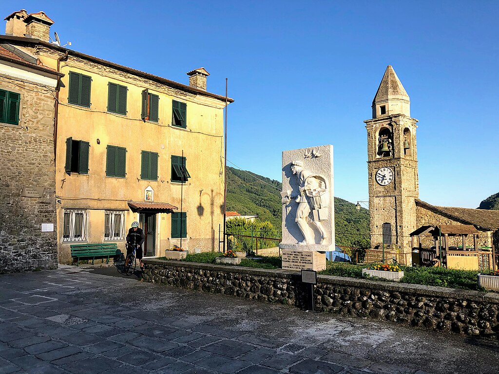
Together with Apuaneguide, we will go up part of the valley, a mountainous territory for centuries used for grazing and rich in mule tracks, characterized by majesty, bridges, stone fountains, witnesses of a fruition that is lost in the remotest past. We will reach the most unknown and isolated villages of the valley: Cotto, Bottignana, Pognana here the scent of antiquity pervades every corner and the symbols carved on the portals of the houses tell us of ancient "pagan" religions.

The itinerary does not present any technical difficulties but it is necessary to have good training for the elevation gain and the long hours of walking.
Possibility to stay overnight on site the day before after contacting the Guide.

  • Length: 16 km.
  • Height difference 700 m
  • Difficulty E (CAI scale)
Information

Apuaneguide

Address: c/o FraAndrea Mountain and Climbing
Piazza Vittorio Emanuele II, 15
Fivizzano (MS)

Email: info@apuaneguide.it
Tel: Andrea +39 333 537 1868

  • Participation: can be activated by reservation

  • Price: guide service € 25 per person

  • Participants: minimum 5, maximum 10

Other experiences

  • VIA FRANCIGENA- stage 24: from Aulla to Sarzana

    Length: 17.4 km
    Min/max altitude: 25 mslm / 545mslm
    Time: 6h 30 min
  • VIA FRANCIGENA- stage 23: from Pontremoli to Aulla

    Length: 32.2 km
    Min/max elevation: 32 mslm / 262mslm
    Time: 7h 00 min
  • VIA FRANCIGENA- stage 22: from the Cisa Pass to Pontremoli

    Length: 19.2 km
    Min/max elevation: 244 mslm / 1120mslm
    Time: 6h 00 min
  • VIA DEL VOLTO SANTO- stage 03: from Fivizzano to Monte Argegna

    Length: 17.9 km
    Min/max elevation: 312 mslm / 971mslm
    Time: 5h 45 min
  • VIA DEL VOLTO SANTO- stage 02: from Bagnone to Fivizzano

    Length: 29.2 km
    Min/max altitude: 130 mslm / 550mslm
    Time: 8h 45 min
  • VIA DEL VOLTO SANTO- stage 01: from Pontremoli to Bagnone

    Length: 24.6 km
    Min/max elevation: 262 mslm / 711mslm
    Time: 7h 00 min
  • TREKKING LUNIGIANA-leg 16: from Fosdinovo to Aulla

    Length: 15.2 km
    Height difference: 619m D+ / 61m D-
    Time: 6h 00 min
  • TREKKING LUNIGIANA-leg 15: Monzone to Fosdinovo

    Length: 17.7 km
    Height difference: 578m D+ / 213m D-
    Time: 7h 30 min
  • TREKKING LUNIGIANA-leg 14: from Casola to Monzone

    Length: 13 km.
    Height difference: 740m D+ / 211m D-
    Time: 5h 00 min
  • TREKKING LUNIGIANA- stage 13: from Sassalbo to Casola

    Length: 20.7 km
    Height difference: 1244m D+ / 370m D-
    Time: 7h 15 min
  • TREKKING LUNIGIANA- stage 12: from Comano to Sassalbo

    Length: 12 km.
    Height difference: 1028m D+ / 581m D-
    Time: 6h 00 min
  • TREKKING LUNIGIANA- stage 11: from Tavernelle to Comano Castello

    Length: 10.6 km
    Height difference: 864m D+ / 359m D-
    Time: 5h 15 min
  • TREKKING LUNIGIANA-leg 10: from Treschietto to Tavernelle

    Length: 9.4 km
    Height difference: 871m D+ / 416m D-
    Time: 4h 00 min
  • TREKKING LUNIGIANA- stage 09: from Rocca Sigillina to Treschietto

    Length: 10.3 km
    Height difference: 825m D+ / 374m D-
    Time: 4h 45 min
  • TREKKING LUNIGIANA- stage 08: from Arzengio to Rocca Sigillina

    Length: 12.5 km
    Height difference: 831m D+ / 407m D-
    Time: 5h 30 min
  • TREKKING LUNIGIANA- stage 07: from Montelungo to Arzengio

    Length: 12.5 km
    Height difference: 831m D+ / 407m D-
    Time: 5h 30 min
  • TREKKING LUNIGIANA- Leg 06: Cervara to Montelungo.

    Length: 15.4 km
    Elevation gain: 849m D+ / 412m D-
    Time: 5h 30 min
  • TREKKING LUNIGIANA- stage 05: from Coloretta to Cervara

    Length: 17.6 km
    Height difference: 1310m D+ / 675m D-
    Time: 6h 00 min
  • TREKKING LUNIGIANA- stage 04: from Montereggio to Coloretta

    Length: 14 km
    Height difference: 933m D+ / 499m D-
    Time: 5h 30 min
  • TREKKING LUNIGIANA- stage 03: from Villa di Tresana to Montereggio

    Length: 9 km.
    Height difference: 697m D+ / 350m D-
    Time: 4h 00 min
  • TREKKING LUNIGIANA- stage 02: from Novegigola to Villa di Tresana

    Length: 11.5 km
    Height difference: 495m D+ / 207m D-
    Time: 4h 00 min
  • TREKKING LUNIGIANA- stage 01: from Aulla to Novegigola

    Length: 10 km
    Height difference: 425m D+ / 61m D-
    Time: 3h 30 min
  • DUCATI PATH-leg 11: Monzone to Fosdinovo

    Length: 20.3 km
    Height difference: 1184m D+ / 907m D-
    Time: 6h 30min
  • DUCATI PATH- stage 10: from Casola to Monzone

    Length: 19 km.
    Height difference: 550m D+ / 1100m D-
    Time: 7h 30min